Temple University, Philadelphia
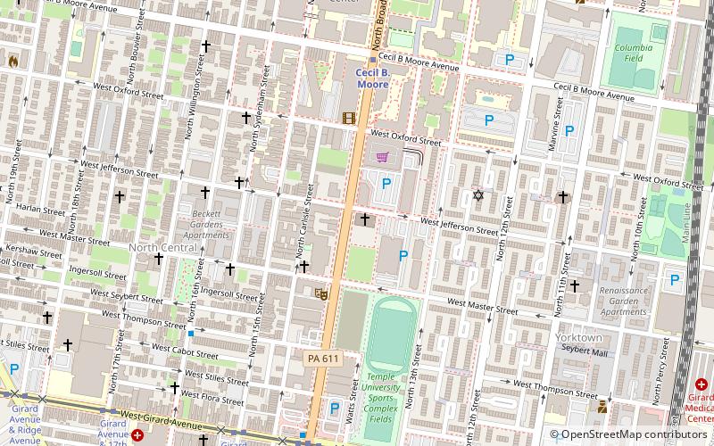
Map
Facts and practical information
Temple University is a public state-related research university in Philadelphia, Pennsylvania. It was founded in 1884 by the Baptist minister Russell Conwell and his congregation Grace Baptist Church of Philadelphia then called Baptist Temple. On May 12, 1888, it was renamed the Temple College of Philadelphia. By 1907, the institution revised its institutional status and was incorporated as a research university. ()
Address
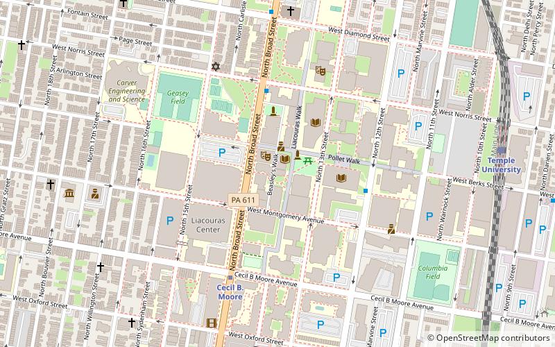
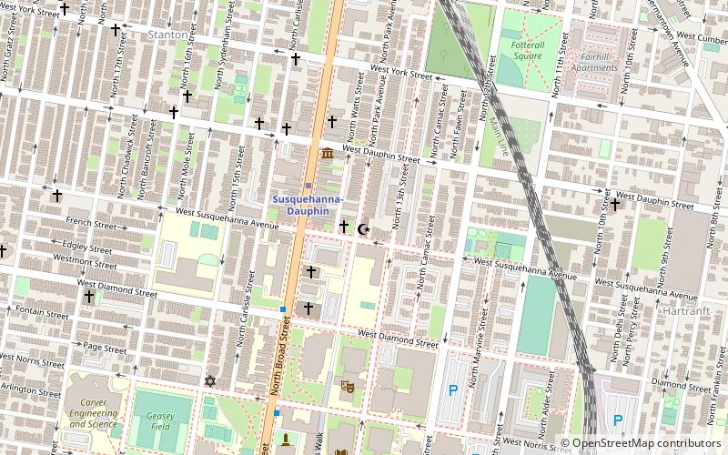
1801 North Broad StreetLower North (Avenue of the Arts North)Philadelphia
Contact
Social media
Add
Getting there by public transportation
Public transportation stops near this location
- Metro
- Tram
- Train
 Metro
Metro
- Calculate routeCecil B. Moore 5 min walk
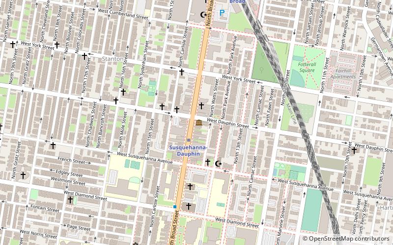
- Calculate routeSusquehanna-Dauphin 11 min walk
- Calculate routeGirard 18 min walk
- Calculate routeNorth Philadelphia 25 min walk
- Calculate routeTemple University 10 min walk
- Calculate routeNorth Broad 20 min walk
- Calculate routeNorth Philadelphia 29 min walk
- Calculate routeGirard Avenue & Broad Street 18 min walk
Maps SEPTA Regional Rail
SEPTA Regional RailDay trips


Frequently Asked Questions (FAQ)
Which popular attractions are close to Temple University?
Nearby attractions include Cecil B. Moore, Philadelphia (6 min walk), Wagner Free Institute of Science, Philadelphia (9 min walk), Philadelphia Military Academy, Philadelphia (10 min walk), Alfred E. Burk House, Philadelphia (10 min walk).
How to get to Temple University by public transport?
The nearest stations to Temple University:
Metro
Train
Tram
Metro
- Cecil B. Moore • Lines: Bsl (5 min walk)
- Susquehanna-Dauphin • Lines: Bsl (11 min walk)
Train
- Temple University (10 min walk)
- North Broad (20 min walk)
Tram
- Girard Avenue & Broad Street • Lines: 15 (18 min walk)