Mount Sinai Holy Church of America, Philadelphia
Map
Facts and practical information
The Mount Sinai Holy Church of America, is a Christian church in the Holiness-Pentecostal tradition. The church is episcopal in governance. It has approximately 130 congregations in 14 states and 4 countries and a membership of over 50,000. The organization's headquarters is located in Philadelphia, PA. ()
Coordinates: 39°58'32"N, 75°9'30"W
Address
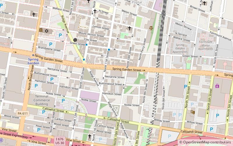
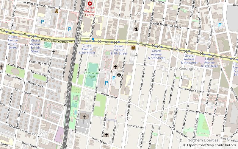
Lower North (Avenue of the Arts North)Philadelphia
ContactAdd
Social media
Add
Getting there by public transportation
Public transportation stops near this location
- Metro
- Tram
- Train
 Metro
Metro
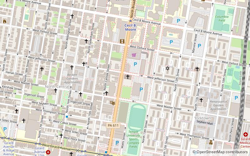
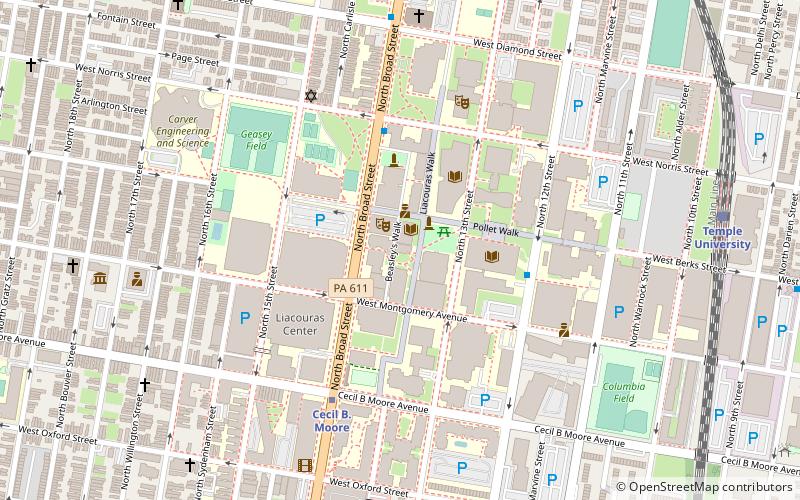
- Calculate routeCecil B. Moore 6 min walk
- Calculate routeGirard 8 min walk
- Calculate routeFairmount 17 min walk
- Calculate routeSusquehanna-Dauphin 21 min walk
- Calculate routeGirard Avenue & Broad Street 8 min walk
- Calculate routeTemple University 16 min walk
- Calculate routeNorth Broad 30 min walk
Maps SEPTA Regional Rail
SEPTA Regional RailDay trips


Frequently Asked Questions (FAQ)
Which popular attractions are close to Mount Sinai Holy Church of America?
Nearby attractions include Alfred E. Burk House, Philadelphia (2 min walk), Edwin Forrest House, Philadelphia (3 min walk), North Broad Street Mansion District, Philadelphia (4 min walk), Girard Avenue Historic District, Philadelphia (6 min walk).
How to get to Mount Sinai Holy Church of America by public transport?
The nearest stations to Mount Sinai Holy Church of America:
Metro
Tram
Train
Metro
- Cecil B. Moore • Lines: Bsl (6 min walk)
- Girard • Lines: Bsl (8 min walk)
Tram
- Girard Avenue & Broad Street • Lines: 15 (8 min walk)
Train
- Temple University (16 min walk)
- North Broad (30 min walk)