Huntington Avenue, Boston
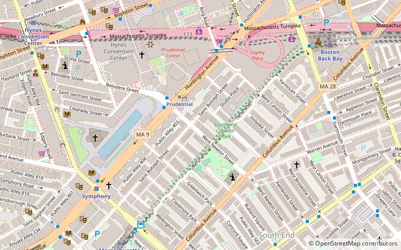
Map
Facts and practical information
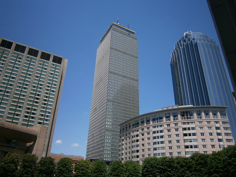
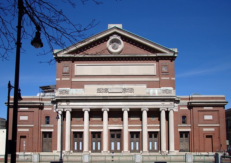
Huntington Avenue is a secondary thoroughfare in the city of Boston, Massachusetts, beginning at Copley Square, and continuing west through the Back Bay, Fenway, Longwood, and Mission Hill neighborhoods. Huntington Avenue is signed as Route 9. A section of Huntington Avenue has been officially designated the Avenue of the Arts by the city of Boston. ()
Address
Back BayBoston
ContactAdd
Social media
Add
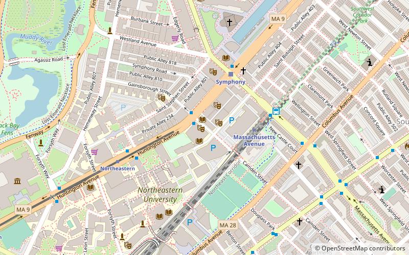
Getting there by public transportation
Public transportation stops near this location
- Metro
- Bus
- Light rail
- Train
 Metro
Metro
- Calculate routePrudential 2 min walk
- Calculate routeSymphony 7 min walk
- Calculate routeCopley 10 min walk
- Calculate routeHynes Convention Center 11 min walk
- Calculate routeBelvidere St @ Huntington Ave 3 min walk
- Calculate routeHuntington Ave @ Ring Rd 5 min walk
- Calculate routeMassachusetts Ave & Massachusetts Ave Station 7 min walk
- Calculate routeMassachusetts Ave @ Huntington Ave 7 min walk
- Calculate routeMassachusetts Avenue 9 min walk
- Calculate routeBack Bay 10 min walk
- Calculate routeRuggles 19 min walk
- Calculate routeTufts Medical Center 23 min walk
- Calculate routeBoston Back Bay 9 min walk
- Calculate routeRuggles 19 min walk
- Calculate routeLansdowne 26 min walk
Maps MBTA Subway
MBTA SubwayDay trips
Huntington Avenue – popular in the area (distance from the attraction)
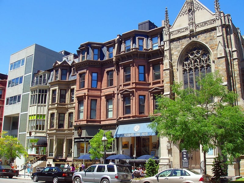
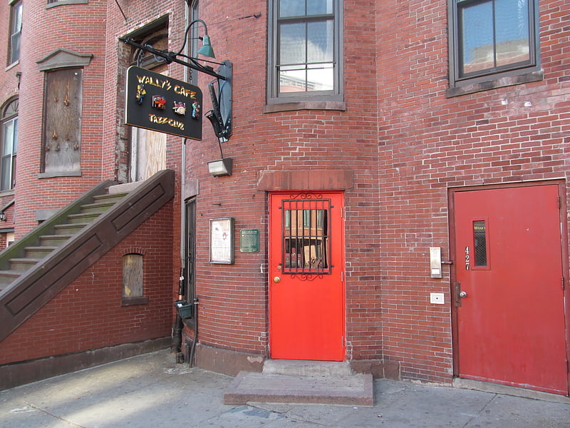
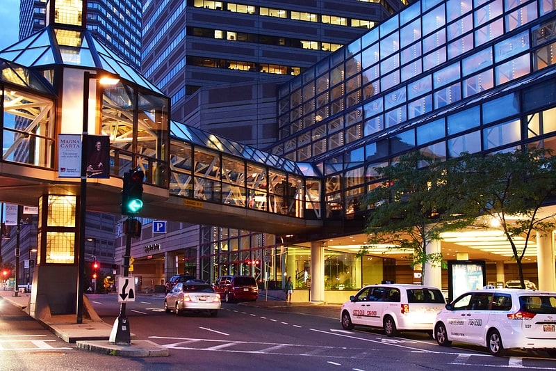
Nearby attractions include: Newbury Street, Wally's Cafe, Copley Place, Skywalk Observatory.


Frequently Asked Questions (FAQ)
Which popular attractions are close to Huntington Avenue?
Nearby attractions include 177 Huntington, Boston (4 min walk), 111 Huntington Avenue, Boston (4 min walk), Harriet Tubman Park, Boston (5 min walk), Boston Duck Tours, Boston (6 min walk).
How to get to Huntington Avenue by public transport?
The nearest stations to Huntington Avenue:
Light rail
Bus
Metro
Train
Light rail
- Prudential • Lines: E (2 min walk)
- Symphony • Lines: E (7 min walk)
Bus
- Belvidere St @ Huntington Ave • Lines: 55 (3 min walk)
- Huntington Ave @ Ring Rd • Lines: 9 (5 min walk)
Metro
- Massachusetts Avenue • Lines: Orange (9 min walk)
- Back Bay • Lines: Orange (10 min walk)
Train
- Boston Back Bay (9 min walk)
- Ruggles (19 min walk)