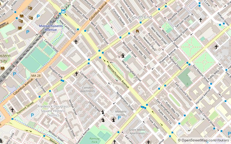
Chester Square, Boston
Map
Facts and practical information
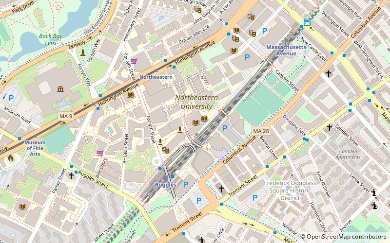
Chester Square is a residential garden square located along Massachusetts Avenue in Boston, between Tremont Street and Shawmut Avenue. The name "Chester" is derived from the original name of the street, which was renamed Massachusetts Avenue on March 1, 1894. Chester Park is also located in the historic South End of Boston. ()
Coordinates: 42°20'18"N, 71°4'45"W
Address
Roxbury (Lower Roxbury)Boston
ContactAdd
Social media
Add
Getting there by public transportation
Public transportation stops near this location
- Metro
- Bus
- Light rail
- Train
 Metro
Metro
- Calculate routeMassachusetts Ave @ Tremont St 3 min walk
- Calculate routeMassachusetts Ave @ Washington St 5 min walk
- Calculate routeMassachusetts Ave & Massachusetts Ave Station 8 min walk
- Calculate routeMassachusetts Avenue 8 min walk
- Calculate routeRuggles 14 min walk
- Calculate routeBack Bay 18 min walk
- Calculate routeRoxbury Crossing 26 min walk
- Calculate routeSymphony 11 min walk
- Calculate routePrudential 14 min walk
- Calculate routeNortheastern 15 min walk
- Calculate routeHynes Convention Center 21 min walk
- Calculate routeRuggles 14 min walk
- Calculate routeBoston Back Bay 17 min walk
- Calculate routeNewmarket 26 min walk
- Calculate routeLansdowne 32 min walk
Maps MBTA Subway
MBTA SubwayDay trips


Frequently Asked Questions (FAQ)
Which popular attractions are close to Chester Square?
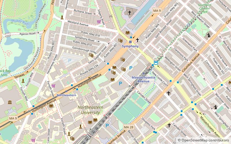
Nearby attractions include Massachusetts Avenue, Boston (2 min walk), Tremont Street Methodist Episcopal Church, Boston (7 min walk), Frederick Douglass Square Historic District, Boston (8 min walk), Ascension-Caproni Historic District, Boston (8 min walk).
How to get to Chester Square by public transport?
The nearest stations to Chester Square:
Bus
Metro
Light rail
Train
Bus
- Massachusetts Ave @ Tremont St • Lines: 1 (3 min walk)
- Massachusetts Ave @ Washington St • Lines: 1, Ct1 (5 min walk)
Metro
- Massachusetts Avenue • Lines: Orange (8 min walk)
- Ruggles • Lines: Orange (14 min walk)
Light rail
- Symphony • Lines: E (11 min walk)
- Prudential • Lines: E (14 min walk)
Train
- Ruggles (14 min walk)
- Boston Back Bay (17 min walk)