Ramona Street Architectural District, Palo Alto
Map

Map

Facts and practical information
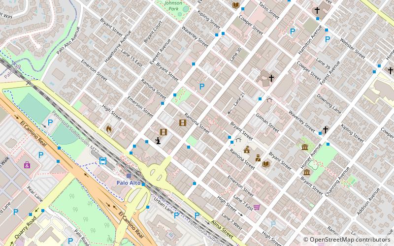
The Ramona Street Architectural District, in downtown Palo Alto, California, is a Registered Historic District. This portion of the street, between University Avenue and Hamilton Avenue, is a highly distinctive business block. It showcases the Spanish Colonial and Early California styles with gentle archways, wrought iron work, tile roofs of varying heights and courtyards. ()
Coordinates: 37°26'43"N, 122°9'44"W
Address
Palo Alto (University South)Palo Alto
ContactAdd
Social media
Add
Day trips
Ramona Street Architectural District – popular in the area (distance from the attraction)
Nearby attractions include: Stanford Shopping Center, Museum of American Heritage, Cantor Arts Center, Stanford Theatre.
Frequently Asked Questions (FAQ)
Which popular attractions are close to Ramona Street Architectural District?
Nearby attractions include Digital DNA, Palo Alto (1 min walk), Pacific Art League, Palo Alto (4 min walk), Museum of American Heritage, Palo Alto (7 min walk), St. Thomas Aquinas Church, Palo Alto (8 min walk).
How to get to Ramona Street Architectural District by public transport?
The nearest stations to Ramona Street Architectural District:
Bus
Train
Bus
- Lytton Avenue & Ramona Street • Lines: 280, 281, 296, 397, C, Db (3 min walk)
- Hamilton Avenue & Ramona Street • Lines: 21 (3 min walk)
Train
- Palo Alto (6 min walk)
- Stanford (15 min walk)


