17 State Street, New York City
Map
Map

Facts and practical information
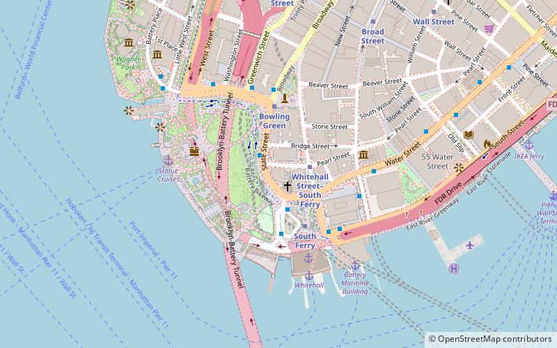
17 State Street is a 42-story office building located in the Financial District of Manhattan, overlooking State Street and Battery Park. It was designed by Roy Gee for Emery Roth and Sons for developers William Kaufman Organization, and it is most noted for its distinct curved glass facade. The building has been owned by RFR Holding since 1999 when it was acquired from Savannah Teachers Properties Inc. for $120 million. ()
Address
Downtown Manhattan (Financial District)New York City
ContactAdd
Social media
Add
Day trips
17 State Street – popular in the area (distance from the attraction)
Nearby attractions include: Battery Park, Castle Clinton, Fraunces Tavern Museum, Bowling Green.
Frequently Asked Questions (FAQ)
Which popular attractions are close to 17 State Street?
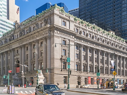
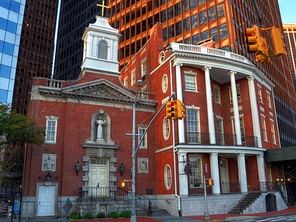
Nearby attractions include Shrine of St. Elizabeth Ann Bayley Seton, New York City (1 min walk), James Watson House, New York City (1 min walk), Whitehall Street, New York City (2 min walk), Alexander Hamilton U.S. Custom House, New York City (2 min walk).
How to get to 17 State Street by public transport?
The nearest stations to 17 State Street:
Metro
Bus
Ferry
Light rail
Metro
- Whitehall Street–South Ferry • Lines: N, R, W (2 min walk)
- South Ferry • Lines: 1 (3 min walk)
Bus
- South Ferry/Terminal • Lines: M15-Sbs (2 min walk)
- Broadway & Battery Place • Lines: 120 (4 min walk)
Ferry
- Whitehall • Lines: Sif (5 min walk)
- Battery Park • Lines: Sc-Ny (5 min walk)
Light rail
- Essex Street • Lines: Hblr (34 min walk)
- Exchange Place • Lines: Hblr (36 min walk)

 Subway
 Manhattan Buses


