West Entrance Station, Glacier National Park

Map
Facts and practical information
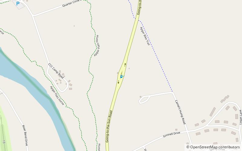
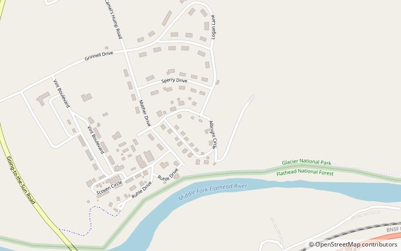
The West Entrance Station at Glacier National Park was built by the Civilian Conservation Corps in 1942. An example of the National Park Service Rustic style, it was designed by the National Park Service Branch of Plans and Design. ()
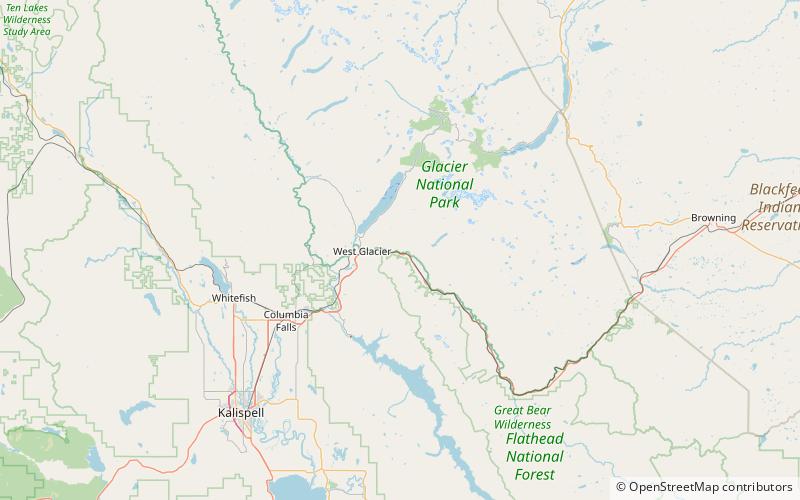
Coordinates: 48°30'23"N, 113°59'16"W
Address
Going-to-the-Sun RoadGlacier National Park
ContactAdd
Social media
Add
Day trips
West Entrance Station – popular in the area (distance from the attraction)
Nearby attractions include: Lake McDonald, Headquarters Historic District, Lincoln Creek Snowshoe Cabin, Apgar Fire Lookout.
Frequently Asked Questions (FAQ)
How to get to West Entrance Station by public transport?
The nearest stations to West Entrance Station:
Train
Bus
Train
- West Glacier (21 min walk)
Bus
- Apgar Transit Center (29 min walk)
- Apgar Visitor Center • Lines: West Shuttle (30 min walk)


