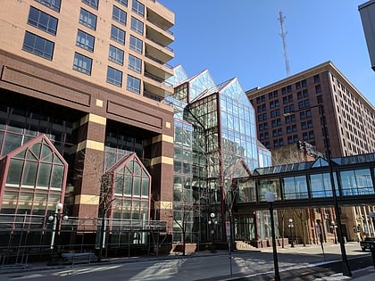
Christ Lutheran, Saint Paul
Map
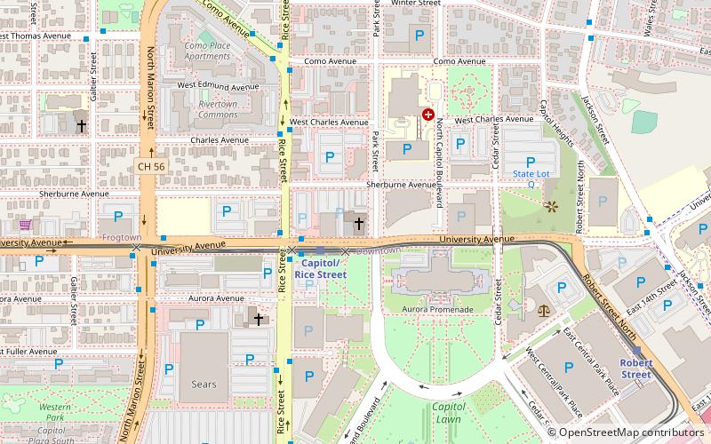
Map

Facts and practical information
Christ Lutheran Church on Capitol Hill is a congregation of the Evangelical Lutheran Church in America in the Thomas-Dale neighborhood of Saint Paul, Minnesota, United States. ()
Coordinates: 44°57'22"N, 93°6'15"W
Address
Thomas - Dale (Capitol)Saint Paul
ContactAdd
Social media
Add
Day trips
Christ Lutheran – popular in the area (distance from the attraction)
Nearby attractions include: James J. Hill House, Xcel Energy Center, Cray Plaza, Cathedral of Saint Paul.
Frequently Asked Questions (FAQ)
Which popular attractions are close to Christ Lutheran?
Nearby attractions include Minnesota State Capitol, Saint Paul (4 min walk), Progress of the State, Saint Paul (4 min walk), Minnesota State Law Library, Saint Paul (6 min walk), Minnesota Woman Suffrage Memorial, Saint Paul (7 min walk).
How to get to Christ Lutheran by public transport?
The nearest stations to Christ Lutheran:
Light rail
Bus
Train
Light rail
- Capitol/Rice Street • Lines: 902 (2 min walk)
- Robert Street • Lines: 902 (10 min walk)
Bus
- University Av • Lines: 3A, 3B, 67, 67A, 67C (3 min walk)
- Charles Av • Lines: 3A, 3B, 67, 67A, 67C (4 min walk)
Train
- Saint Paul Union Depot (30 min walk)


