Westlake Theatre, Los Angeles
Map
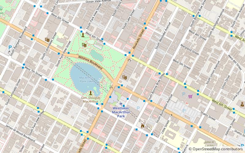
Map

Facts and practical information
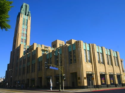
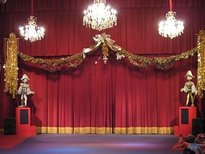
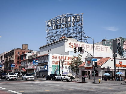
The Westlake Theatre is a historic theater located in the Westlake section of Los Angeles, California, United States, adjacent to MacArthur Park. The theater was listed on the National Register of Historic Places in 2009. ()
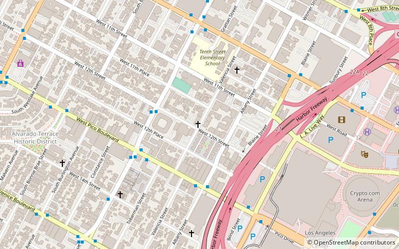
Coordinates: 34°3'30"N, 118°16'31"W
Address
Central Los Angeles (Westlake)Los Angeles
ContactAdd
Social media
Add
Day trips
Westlake Theatre – popular in the area (distance from the attraction)
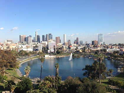
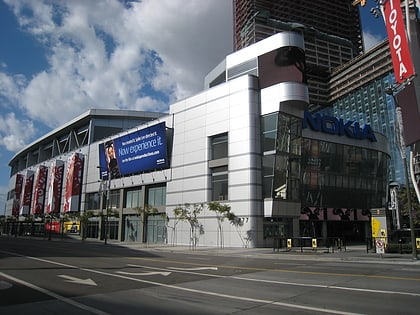
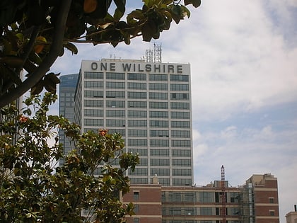
Nearby attractions include: Staples Center, Bullocks Wilshire, FIGat7th, MacArthur Park.
Frequently Asked Questions (FAQ)
Which popular attractions are close to Westlake Theatre?
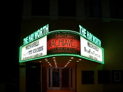
Nearby attractions include MacArthur Park, Los Angeles (5 min walk), Hayworth Theatre, Los Angeles (9 min walk), Susana Machado Bernard House and Barn, Los Angeles (9 min walk), Frederick Mitchell Mooers House, Los Angeles (10 min walk).
How to get to Westlake Theatre by public transport?
The nearest stations to Westlake Theatre:
Metro
Bus
Light rail
Metro
- Westlake/MacArthur Park • Lines: B, D (3 min walk)
- Wilshire/Vermont • Lines: B, D (24 min walk)
Bus
- Temple & Rosemont • Lines: 10 (24 min walk)
- Vermont & 8th • Lines: 204, Wilshire Center/Koreatown (24 min walk)
Light rail
- 7th Street/Metro Center • Lines: A, E (30 min walk)
 Metro & Regional Rail
