Port of Dubuque, Dubuque
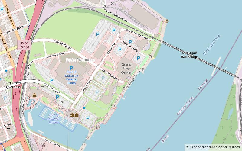
Map

Gallery

Facts and practical information
The Port of Dubuque is the section of downtown Dubuque, Iowa that lies immediately adjacent to the Mississippi River. The area was among the first areas settled in what would become the City of Dubuque, and the State of Iowa. Historically, the area has been a center of heavy industry, but has recently seen extensive reinvestment and new construction. The area is now one of the main tourist destinations in Dubuque, as well as Iowa. ()
Coordinates: 42°29'52"N, 90°39'21"W
Address
Downtown DubuqueDubuque
ContactAdd
Social media
Add
Day trips
Port of Dubuque – popular in the area (distance from the attraction)
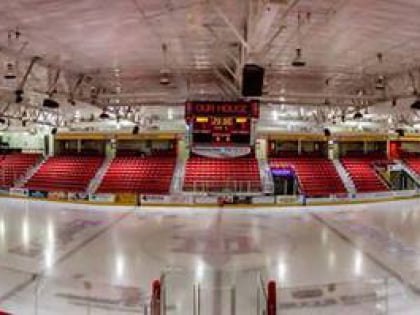
Nearby attractions include: National Mississippi River Museum & Aquarium, Port of Dubuque Marina, Mystique Ice Center, St. Raphael's Cathedral.
Frequently Asked Questions (FAQ)
Which popular attractions are close to Port of Dubuque?
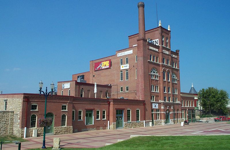
Nearby attractions include Dubuque Star Brewery, Dubuque (4 min walk), Shot Tower, Dubuque (5 min walk), Diamond Jo Casino, Dubuque (6 min walk), Port of Dubuque Marina, Dubuque (7 min walk).
How to get to Port of Dubuque by public transport?
The nearest stations to Port of Dubuque:
Bus
Train
Bus
- S Main St. at Arby's • Lines: Blue (14 min walk)
- Dubuque Intermodal Transportation Center (14 min walk)
Train
- 4th Street (17 min walk)
- Fenelon Place (18 min walk)


