Queen Avenue Bridge, Minneapolis
Map

Gallery

Facts and practical information
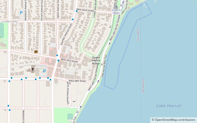
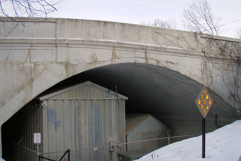
The Queen Avenue Bridge is a reinforced concrete single-span barrel arch bridge in Minneapolis that spans the tracks used by the Minnesota Streetcar Museum. The bridge was built in 1905 and is listed on the National Register of Historic Places. ()
Built: 1905 (121 years ago)Coordinates: 44°55'28"N, 93°18'40"W
Address
Southwest Minneapolis (Linden Hills)Minneapolis
ContactAdd
Social media
Add
Day trips
Queen Avenue Bridge – popular in the area (distance from the attraction)
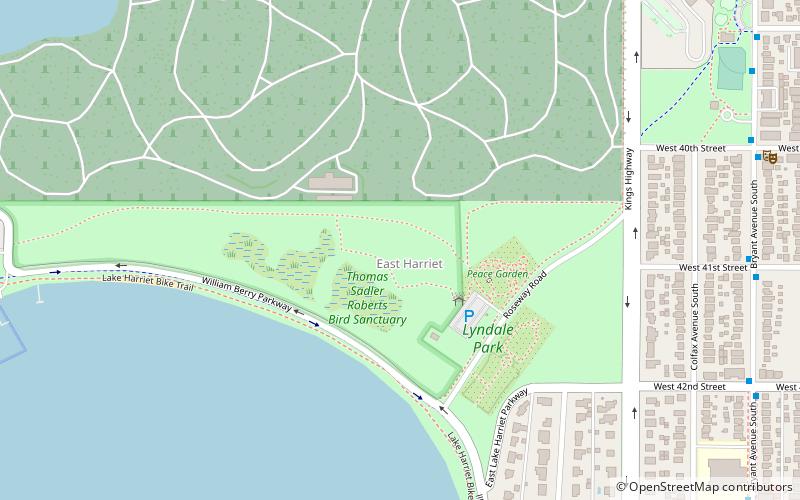
Nearby attractions include: Lyndale Park, Lake Calhoun, The Bakken Museum, Lake Harriet.
Frequently Asked Questions (FAQ)
Which popular attractions are close to Queen Avenue Bridge?
Nearby attractions include Minnesota Streetcar Museum, Minneapolis (1 min walk), Linden Hills Library, Minneapolis (7 min walk), Lake Harriet, Minneapolis (9 min walk), Linden Hills, Minneapolis (12 min walk).
How to get to Queen Avenue Bridge by public transport?
The nearest stations to Queen Avenue Bridge:
Bus
Bus
- Penn Av S • Lines: 4, 4B, 4G (22 min walk)
- 50 St W • Lines: 4P (22 min walk)


