Rancho Los Alamitos, Long Beach
Map
Map

Facts and practical information
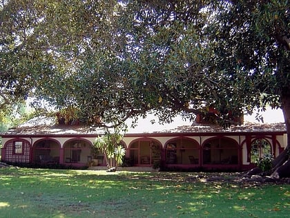
Rancho Los Alamitos takes its name from an 1834 Mexican partition of the 1784 Rancho Los Nietos, a Spanish concession, covering an area in present-day California's southwestern Los Angeles County and northwestern Orange County. Los Alamitos means the Little Cottonwoods or Poplars in Spanish, after the native Fremont Cottonwood trees there. ()
Built: 1834 (192 years ago)Area: 7.5 acres (0.0117 mi²)Coordinates: 33°46'36"N, 118°6'25"W
Address
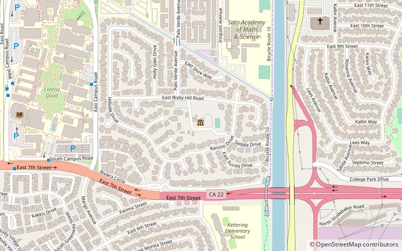
6400 Bixby Hill RdLong Beach (Bixby Hill)Long Beach 90815-4706
Contact
+1 562-431-3541
Social media
Add
Day trips
Rancho Los Alamitos – popular in the area (distance from the attraction)
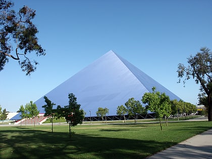
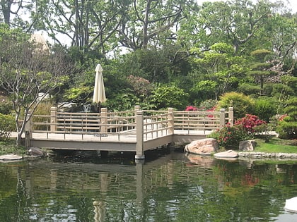
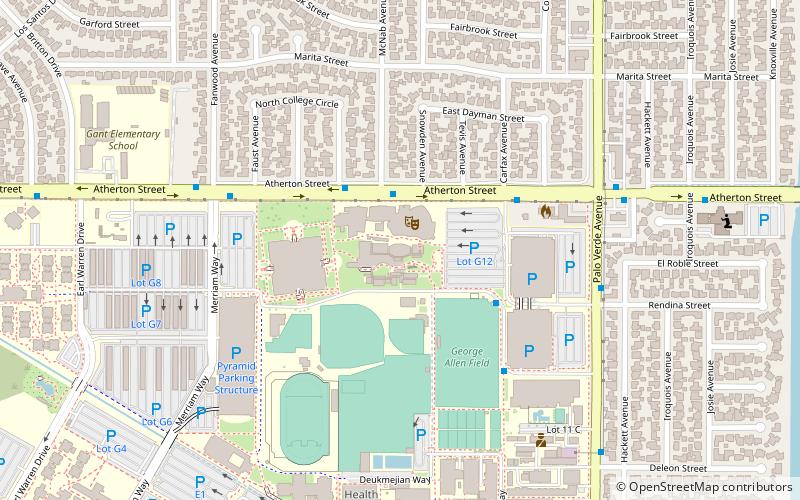
Nearby attractions include: Walter Pyramid, Earl Burns Miller Japanese Garden, Carpenter Performing Arts Center, California State University.
Frequently Asked Questions (FAQ)
When is Rancho Los Alamitos open?
Rancho Los Alamitos is open:
- Monday closed
- Tuesday closed
- Wednesday 1 pm - 5 pm
- Thursday 1 pm - 5 pm
- Friday 1 pm - 5 pm
- Saturday 1 pm - 5 pm
- Sunday 1 pm - 5 pm
Which popular attractions are close to Rancho Los Alamitos?
Nearby attractions include California State University, Long Beach (17 min walk), Department of Music at California State University, Long Beach (21 min walk), Carpenter Performing Arts Center, Long Beach (22 min walk), Walter Pyramid, Long Beach (22 min walk).
