Raspberry Island, Saint Paul
Map

Gallery

Facts and practical information
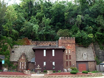
Raspberry Island is located in the Mississippi River in Saint Paul, Minnesota, United States. Buildings for the Minnesota Boat Club have sat upon the island since 1885; the Minnesota Boat Club Boathouse structure was built in 1910. Between 1949 and 1968, the island was used by the United States Navy. The City of Saint Paul manages the island as part of the Harriet Island Regional Park. Paths, a plaza, and a bandshell were installed on Raspberry Island during renovations by the city in the early 2000s. ()
Maximum elevation: 696 ftCoordinates: 44°56'32"N, 93°5'27"W
Address
West Side (Concord - Robert)Saint Paul
ContactAdd
Social media
Add
Day trips
Raspberry Island – popular in the area (distance from the attraction)
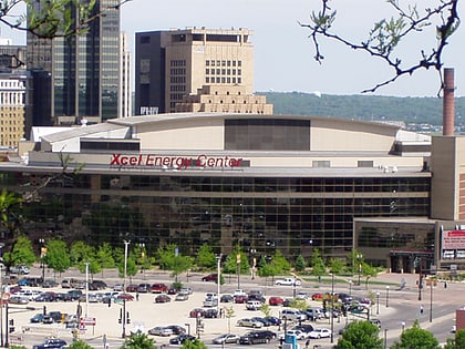
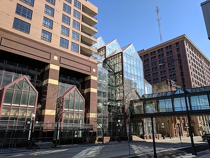
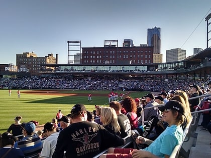
Nearby attractions include: Xcel Energy Center, Cray Plaza, Science Museum of Minnesota, CHS Field.
Frequently Asked Questions (FAQ)
Which popular attractions are close to Raspberry Island?
Nearby attractions include Minnesota Boat Club Boathouse on Raspberry Island, Saint Paul (2 min walk), Wabasha Street Bridge, Saint Paul (2 min walk), St. Paul Union Pacific Vertical-lift Rail Bridge, Saint Paul (5 min walk), Robert Street Bridge, Saint Paul (6 min walk).
How to get to Raspberry Island by public transport?
The nearest stations to Raspberry Island:
Bus
Light rail
Train
Bus
- Minnesota St • Lines: 3A, 3B (6 min walk)
- 4 St • Lines: 3A, 3B (6 min walk)
Light rail
- Central Station • Lines: 902 (8 min walk)
- Union Depot • Lines: 902 (12 min walk)
Train
- Saint Paul Union Depot (11 min walk)

