Red Cliff Bridge, Red Cliff
Map

Map

Facts and practical information
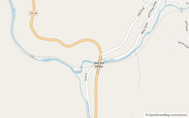
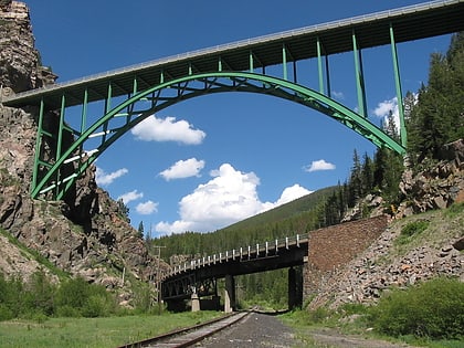
Red Cliff Bridge is a cantilevered steel arch bridge located about 0.5 mi southwest of the town of Red Cliff, Colorado, one of Colorado's iconic bridges. The bridge carries U.S. Highway 24 over the Eagle River, as well as a county road, and the former Union Pacific Railroad track that heads south toward Tennessee Pass and the city of Leadville. One of only two steel arch bridges within Colorado, Red Cliff Bridge has been listed on the National Register of Historic Places since 1985 and is the state's only cantilevered steel arch bridge. ()
Opened: 1941 (85 years ago)Length: 471 ftWidth: 30 ftHeight: 200 ftCoordinates: 39°30'30"N, 106°22'37"W
Day trips
Red Cliff Bridge – popular in the area (distance from the attraction)
Nearby attractions include: Holy Cross Wilderness.

