Holy Cross Wilderness, Minturn
Map

Map

Facts and practical information
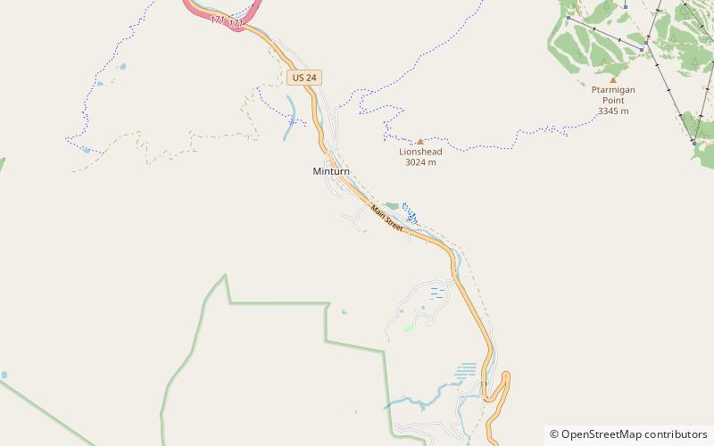
The Holy Cross Wilderness is a U.S. Wilderness Area located in San Isabel and White River national forests near Leadville, Minturn, Avon, Edwards, Eagle, and Vail, Colorado. The 122,797-acre wilderness with 164 miles of trails was established in 1980. The wilderness was named after its highest peak, 14,005-foot Mount of the Holy Cross. ()
Alternative names: Established: 1980 (46 years ago)Area: 191.32 mi²Coordinates: 39°34'43"N, 106°25'34"W
Address
Minturn
ContactAdd
Social media
Add
Day trips
Holy Cross Wilderness – popular in the area (distance from the attraction)
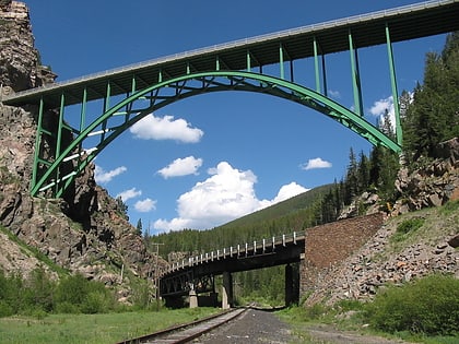
Nearby attractions include: Betty Ford Alpine Gardens, Red Cliff Bridge, Holy Cross Wilderness, Avon.


