River Street Bridge, Boston
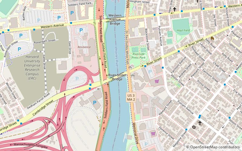
Map
Gallery
Facts and practical information
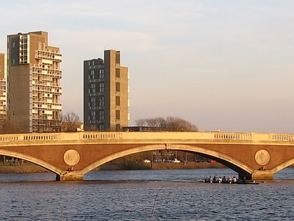
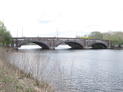
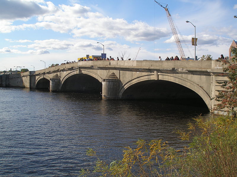
The River Street Bridge is a bridge on the Charles River in Boston, Massachusetts, connecting River Street in Cambridge to Cambridge Street in Allston near the southern end of the Harvard University campus. It was built in 1925 by the Commonwealth of Massachusetts Metropolitan District Commission. ()
Opened: 1925 (101 years ago)Coordinates: 42°21'41"N, 71°6'59"W
Day trips
River Street Bridge – popular in the area (distance from the attraction)
Nearby attractions include: Harvard Stadium, Dunster House, John W. Weeks Bridge, Anderson Memorial Bridge.
Frequently Asked Questions (FAQ)
Which popular attractions are close to River Street Bridge?
Nearby attractions include Memorial Drive, Boston (4 min walk), B B Chemical Company, Boston (4 min walk), Western Avenue Bridge, Boston (6 min walk), Ernst Flentje House, Boston (8 min walk).
How to get to River Street Bridge by public transport?
The nearest stations to River Street Bridge:
Bus
Light rail
Metro
Train
Bus
- Magazine St @ Chestnut St • Lines: 47 (8 min walk)
- Putnam ave @ Magazine St • Lines: 47 (9 min walk)
Light rail
- Babcock Street • Lines: B (18 min walk)
- Amory Street • Lines: B (19 min walk)
Metro
- Central Square • Lines: Red (19 min walk)
- Harvard • Lines: Red (23 min walk)
Train
- Lansdowne (33 min walk)

 MBTA Subway

