Rock Island Bridge, Kansas City
Map
Facts and practical information
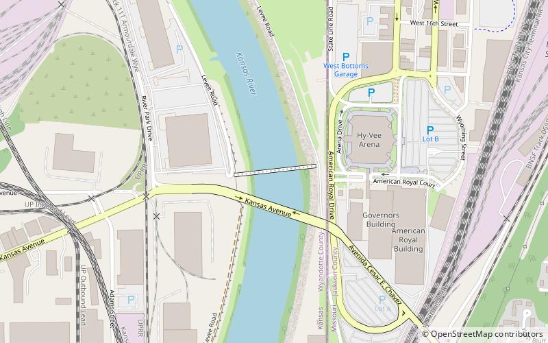
The Rock Island Bridge in Kansas City, Kansas is a rail crossing of the Kansas River. It connects the Armourdale, Kansas to West Bottoms. It is a truss bridge that is closed to traffic. ()
Opened: 1905 (121 years ago)Coordinates: 39°5'28"N, 94°36'32"W
Address
Downtown Kansas City (Central Industrial District)Kansas City
ContactAdd
Social media
Add
Getting there by public transportation
Public transportation stops near this location
- Bus
 Bus
Bus
- Calculate route14th at Wyoming 14 min walk
- Calculate routeWyoming at 12th 18 min walk
- Calculate route12th at Liberty 19 min walk
- Calculate routeSummit at 20th 21 min walk
Day trips
Rock Island Bridge – popular in the area (distance from the attraction)
Nearby attractions include: Municipal Auditorium, Kauffman Center for the Performing Arts, Barney Allis Plaza, Cathedral of the Immaculate Conception.


Frequently Asked Questions (FAQ)
Which popular attractions are close to Rock Island Bridge?
Nearby attractions include 23rd Street viaduct, Kansas City (2 min walk), Highline Bridge, Kansas City (13 min walk), Union Pacific Intermodal Bridge, Kansas City (13 min walk), Missouri Pacific Bridge, Kansas City (14 min walk).
How to get to Rock Island Bridge by public transport?
The nearest stations to Rock Island Bridge:
Bus
Bus
- 14th at Wyoming • Lines: 9 (14 min walk)
- Wyoming at 12th • Lines: 9 (18 min walk)