Roosevelt Island, New York City

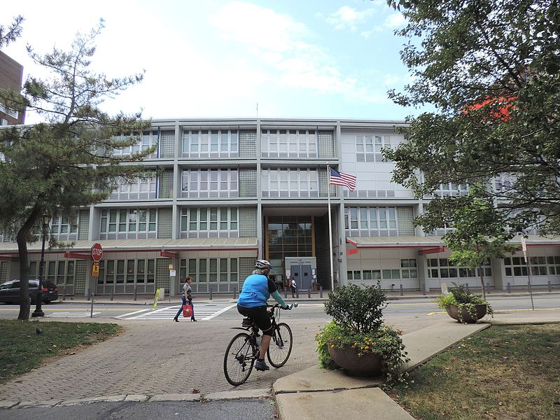
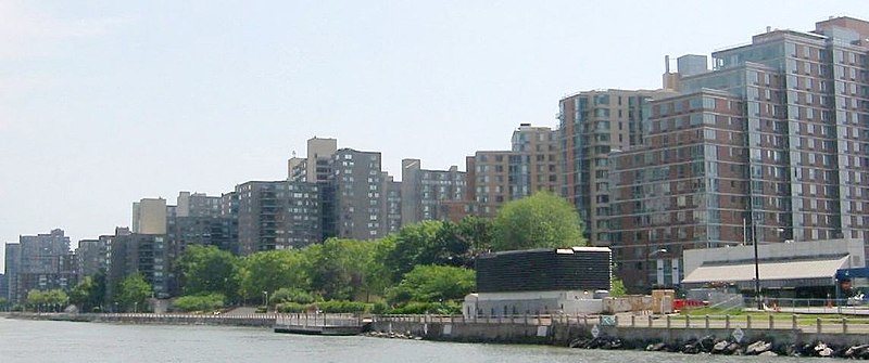
Gallery (8)
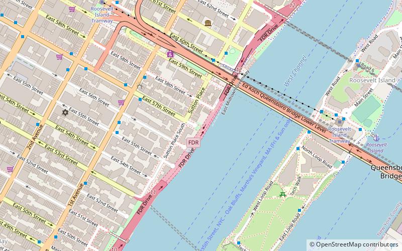
Map

Map

Gallery
Facts and practical information
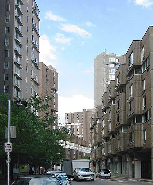
Roosevelt Island is a narrow island in New York City's East River, within the borough of Manhattan. It lies between Manhattan Island to the west, and the borough of Queens, on Long Island, to the east. Running from the equivalent of East 46th to 85th Streets on Manhattan Island, it is about 2 miles long, with a maximum width of 800 feet, and a total area of 147 acres. Together with Mill Rock, Roosevelt Island constitutes Manhattan's Census Tract 238, which has a land area of 0.279 sq mi, and had a population of 11,661 as of the 2010 United States Census. ()
Alternative names: Area: 148.26 acres (0.2317 mi²)Maximum elevation: 5 ftCoordinates: 40°45'43"N, 73°56'60"W
Address
Roosevelt IslandNew York City
ContactAdd
Social media
Add
Getting there by public transportation
Public transportation stops near this location
- Metro
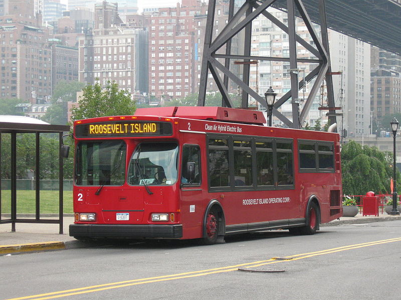
- Bus
 Metro
Metro
- Calculate routeWest Rd / F Subway 7 min walk
- Calculate routeMain St / F Subway 7 min walk
- Calculate route1 Av/E 67 St 12 min walk
- Calculate routeYork Avenue & East 60th Street 13 min walk
- Calculate routeRoosevelt Island 7 min walk
- Calculate route72nd Street 17 min walk
Maps SubwayMaps
 Manhattan Buses
SubwayMapsManhattan BusesDay trips


Frequently Asked Questions (FAQ)
Which popular attractions are close to Roosevelt Island?
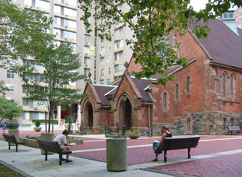
Nearby attractions include Chapel of the Good Shepherd, New York City (1 min walk), Blackwell House, New York City (4 min walk), Roosevelt Island Bridge, New York City (8 min walk), Queensbridge Park, New York City (10 min walk).
How to get to Roosevelt Island by public transport?
The nearest stations to Roosevelt Island:
Bus
Metro
Bus
- West Rd / F Subway • Lines: Q102 (7 min walk)
- Main St / F Subway • Lines: Q102 (7 min walk)
Metro
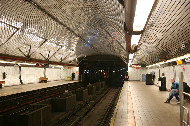
- Roosevelt Island • Lines: <F>, F (7 min walk)
- 72nd Street • Lines: Q (17 min walk)