Rose Island, Newport
Map

Map

Facts and practical information
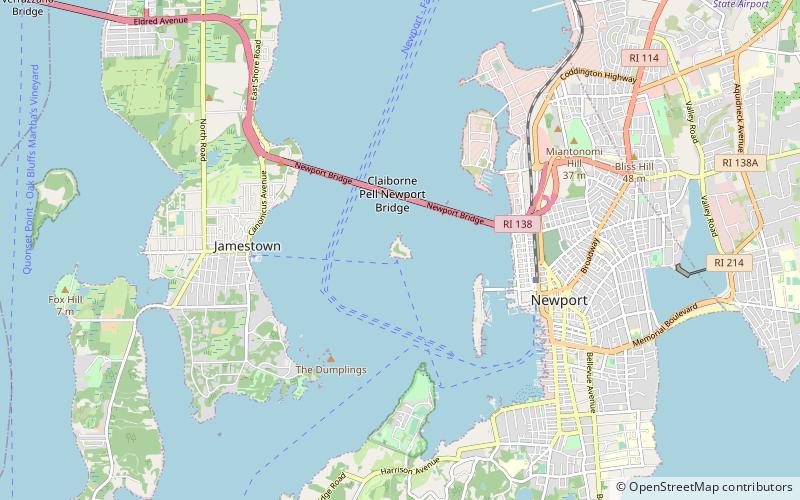
Rose Island is an 18.5-acre island in Narragansett Bay off Newport, Rhode Island, United States. It is allegedly named "Rose Island" because at low tide the island appears to be shaped like a rose. The Island is only accessible by boat. The island and its lighthouse are run by the private, non-profit Rose Island Lighthouse Foundation. ()
Coordinates: 41°29'47"N, 71°20'28"W
Address
Rose IslandNewport
ContactAdd
Social media
Add
Day trips
Rose Island – popular in the area (distance from the attraction)
Nearby attractions include: Claiborne Pell Newport Bridge, Fort Wetherill State Park, Newport Shipyard, Naval War College Museum.
Frequently Asked Questions (FAQ)
Which popular attractions are close to Rose Island?
Nearby attractions include Rose Island Light, Newport (3 min walk), Claiborne Pell Newport Bridge, Newport (13 min walk), Gull Rocks Light, Newport (15 min walk), Newport Harbor Light, Newport (20 min walk).


