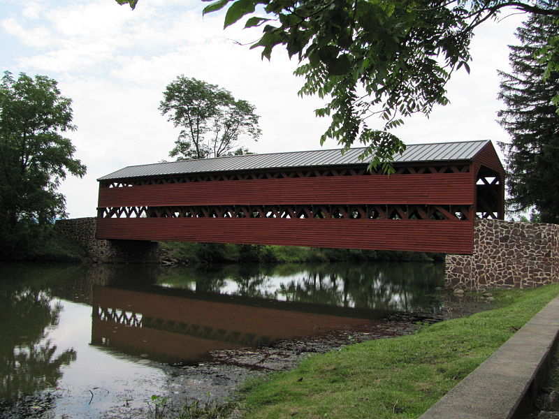
Sachs Covered Bridge, Gettysburg
Map
Gallery
Facts and practical information
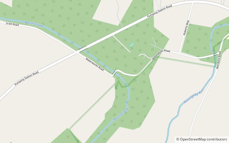
The Sachs Covered Bridge, also known as Sauck's Covered Bridge and Waterworks Covered Bridge, is a 100-foot, Town truss covered bridge over Marsh Creek between Cumberland and Freedom Townships, Adams County in the U.S. state of Pennsylvania. The bridge was also known as the Sauches Covered Bridge at the time of the Battle of Gettysburg. It was listed on the National Register of Historic Places in 1980. ()
Length: 100 ftWidth: 15 ftCoordinates: 39°47'51"N, 77°16'34"W
Day trips
Sachs Covered Bridge – popular in the area (distance from the attraction)
Nearby attractions include: Pennsylvania State Memorial, 72nd Pennsylvania Infantry Monument, Rose Woods, Devil's Den.


