Santa Rosa Junior College, Santa Rosa
Map

Map

Facts and practical information
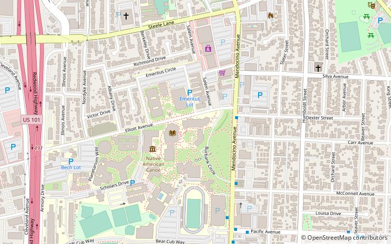
Santa Rosa Junior College is a public community college in Santa Rosa, California with an additional campus in Petaluma and centers in surrounding Sonoma County. Santa Rosa Junior College was modeled as a feeder school for the University of California system. SRJC is operated by the Sonoma County Community College District. ()
Established: 1918 (108 years ago)Coordinates: 38°27'26"N, 122°43'8"W
Day trips
Santa Rosa Junior College – popular in the area (distance from the attraction)
Nearby attractions include: Redwood Empire Ice Arena, Santa Rosa Plaza, Charles M. Schulz Museum, Coddingtown Mall.
Frequently Asked Questions (FAQ)
How to get to Santa Rosa Junior College by public transport?
The nearest stations to Santa Rosa Junior College:
Bus
Train
Bus
- Coddingtown Transit Hub (19 min walk)
- Piner Road & Range Avenue • Lines: 72, 72X, 74 (34 min walk)
Train
- Santa Rosa North (25 min walk)


