Senator George Sellar Bridge, Wenatchee
Map
![Senator George Sellar Bridge location map](https://tzmedia.b-cdn.net/media/images/static-maps/us/47_4098_-120_296.jpg)
Map
![Senator George Sellar Bridge location map](https://tzmedia.b-cdn.net/media/images/static-maps/us/47_4098_-120_296.jpg)
Facts and practical information
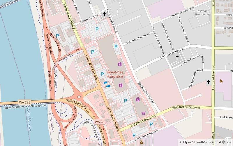
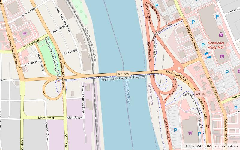
The Senator George Sellar Bridge at Wenatchee, Washington was built in 1950 as the "Columbia River Bridge" to carry U.S. Route 2 across the Columbia River. ()
Length: 1208 ftCoordinates: 47°24'35"N, 120°17'46"W
Address
Wenatchee
ContactAdd
Social media
Add
Day trips
Senator George Sellar Bridge – popular in the area (distance from the attraction)
Nearby attractions include: Wenatchee Valley Mall, Wenatchee Valley Museum & Cultural Center, Columbia River Bridge, Wenatchee Fire Station No. 1.