South Gate, Los Angeles

Gallery (1)
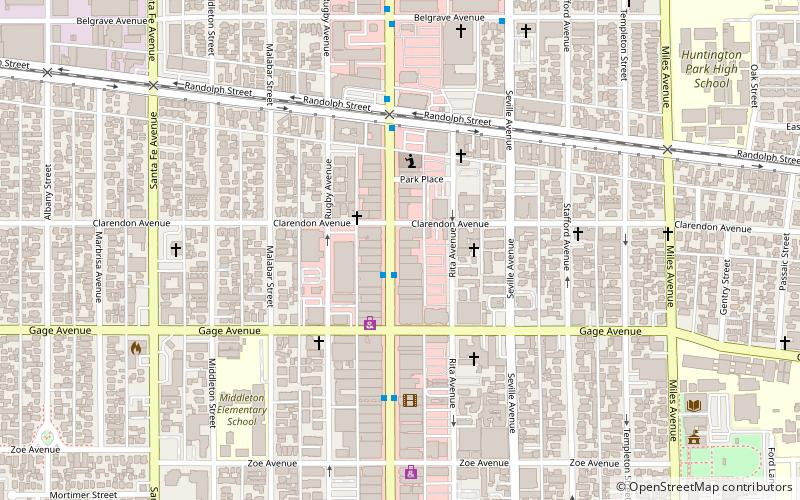
Map
Map
Facts and practical information
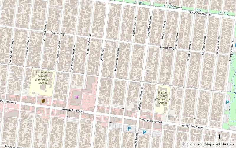
South Gate is the 17th largest city in Los Angeles County, California, United States, with 7.4 square miles. South Gate is located 7 miles southeast of Downtown Los Angeles. It is part of the Gateway Cities region of southeastern Los Angeles County. ()
Getting there by public transportation
Public transportation stops near this location
- Bus
 Bus
Bus
- Calculate routeFirestone / Atlantic 21 min walk
Maps Metro & Regional Rail
Metro & Regional RailDay trips


Frequently Asked Questions (FAQ)
How to get to South Gate by public transport?
The nearest stations to South Gate:
Bus
Bus
- Firestone / Atlantic • Lines: 115 (21 min walk)