St. Paul United Methodist Church, Atlanta
Facts and practical information
St. Paul United Methodist Church is located in the historic Grant Park neighborhood of Atlanta, Georgia. For a time in the early 1900s, St. Paul had the largest Methodist congregation in the Southeastern United States. The church organ was acquired at the Cotton States Exhibition in 1887. St. Paul's stained glass windows, which date back to 1907, are being refurbished. St. Paul is a main stop on tours of the Grant Park neighborhood given by the Atlanta Preservation Center. St. Paul is also home to the Grant Park Cooperative Preschool. St. Paul, the Grant Park Cooperative Preschool and the Grant Park Parent Network host the annual Grant Park Candlelight Tour of Homes, which also includes an artist marketplace and a Winter Wonderland for children. The Candlelight Tour of Homes begins at St. Paul. ()
Eastside (Grant Park)Atlanta
- Metro
- Bus
- Tram
 Metro
Metro
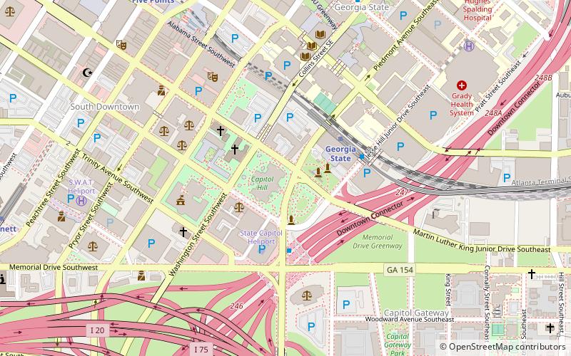
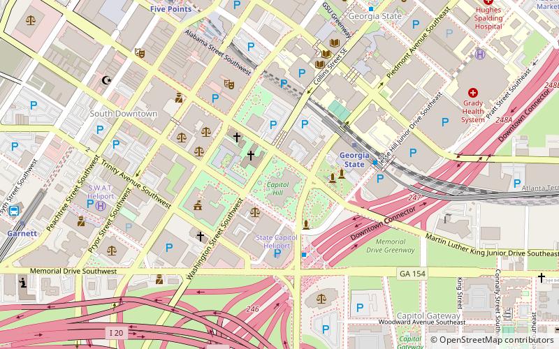
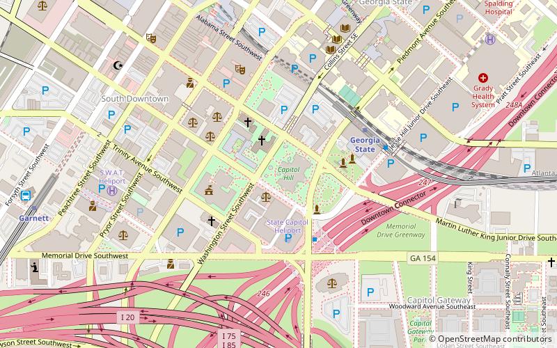
- Calculate routeKing Memorial 16 min walk
- Calculate routeGeorgia State 22 min walk
- Calculate routeGarnett 32 min walk
- Calculate routeFive Points 32 min walk
- Calculate routeEdgewood at Hillard 24 min walk
- Calculate routeSweet Auburn Market 25 min walk
- Calculate routeKing Historic District 26 min walk
- Calculate routeDobbs Plaza 26 min walk
- Calculate routeAtlanta Greyhound Bus Station 32 min walk


Frequently Asked Questions (FAQ)
Which popular attractions are close to St. Paul United Methodist Church?
How to get to St. Paul United Methodist Church by public transport?
Metro
- King Memorial • Lines: Blue, Green (16 min walk)
- Georgia State • Lines: Blue, Green (22 min walk)
Tram
- Edgewood at Hillard • Lines: Atlanta Streetcar (24 min walk)
- Sweet Auburn Market • Lines: Atlanta Streetcar (25 min walk)
Bus
- Atlanta Greyhound Bus Station (32 min walk)