Statue of Jimmy Carter, Atlanta
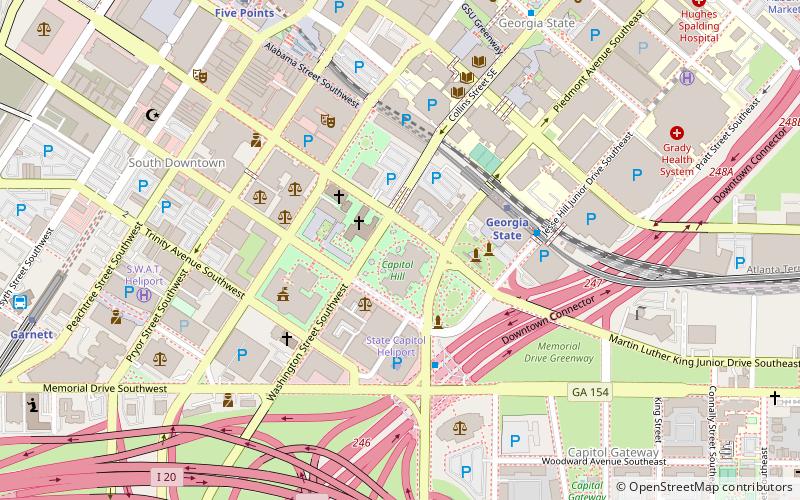
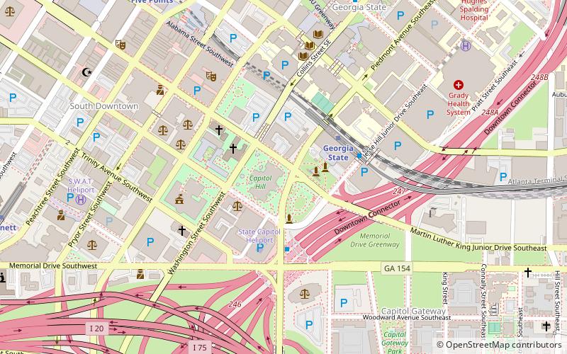
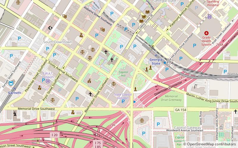
Map
Facts and practical information
The Jimmy Carter statue is a monumental statue in Atlanta, Georgia, United States. Located on the grounds of the Georgia State Capitol, the statue was designed by Frederick Hart and depicts Jimmy Carter, former President of the United States. It was dedicated in 1994. ()
Coordinates: 33°44'58"N, 84°23'18"W
Address
Downtown Atlanta (South Downtown)Atlanta
ContactAdd
Social media
Add
Getting there by public transportation
Public transportation stops near this location
- Metro
- Bus
- Tram
 Metro
Metro
- Calculate routeGeorgia State 4 min walk
- Calculate routeFive Points 10 min walk
- Calculate routeGarnett 12 min walk
- Calculate routePeachtree Center 17 min walk
- Calculate routeHurt Park 10 min walk
- Calculate routePark Place 11 min walk
- Calculate routeWoodruff Park 12 min walk
- Calculate routeAuburn at Piedmont 15 min walk
- Calculate routeAtlanta Greyhound Bus Station 13 min walk
Day trips
Statue of Jimmy Carter – popular in the area (distance from the attraction)
Nearby attractions include: Georgia State Capitol, M. Rich Building, Equestrian statue of John Brown Gordon, Statue of Martin Luther King Jr..


Frequently Asked Questions (FAQ)
Which popular attractions are close to Statue of Jimmy Carter?
Nearby attractions include Georgia State Capitol, Atlanta (1 min walk), Equestrian statue of John Brown Gordon, Atlanta (1 min walk), Miss Freedom, Atlanta (1 min walk), Statue of Ellis Arnall, Atlanta (1 min walk).
How to get to Statue of Jimmy Carter by public transport?
The nearest stations to Statue of Jimmy Carter:
Metro
Tram
Bus
Metro
- Georgia State • Lines: Blue, Green (4 min walk)
- Five Points • Lines: Blue, Gold, Green, Red (10 min walk)
Tram
- Hurt Park • Lines: Atlanta Streetcar (10 min walk)
- Park Place • Lines: Atlanta Streetcar (11 min walk)
Bus
- Atlanta Greyhound Bus Station (13 min walk)