Stone Arch Bridge, Champaign-Urbana
Map

Map

Facts and practical information
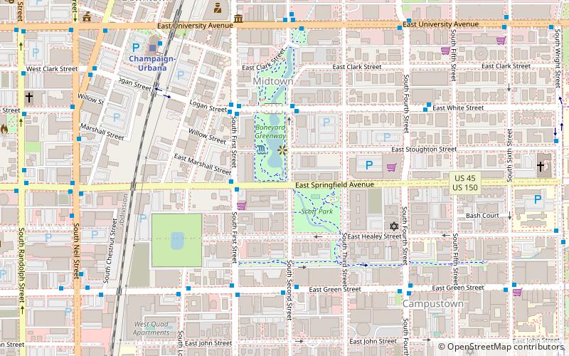
The Stone Arch Bridge, located near the intersection East Springfield Avenue and South Second Street in Champaign, Illinois was built in 1860. In c.2010, it was integrated into the design of the Boneyard Creek Second Street Basin, a flood control facility and recreational amenity which is located between First and Second Streets and Springfield and University Avenues. ()
Built: 1860 (166 years ago)Coordinates: 40°6'46"N, 88°14'14"W
Address
Champaign-Urbana
ContactAdd
Social media
Add
Day trips
Stone Arch Bridge – popular in the area (distance from the attraction)
Nearby attractions include: State Farm Center, Memorial Stadium, Huff Hall, Alma Mater.
Frequently Asked Questions (FAQ)
Which popular attractions are close to Stone Arch Bridge?
Nearby attractions include Burnham 310, Champaign-Urbana (4 min walk), Cattle Bank, Champaign-Urbana (7 min walk), Delta Kappa Epsilon Fraternity House, Champaign-Urbana (8 min walk), Alpha Delta Phi Fraternity House, Champaign-Urbana (9 min walk).
How to get to Stone Arch Bridge by public transport?
The nearest stations to Stone Arch Bridge:
Bus
Train
Bus
- First & Springfield • Lines: 14E, 14W (3 min walk)
- White & Second • Lines: 12E, 12W, 1N, 1S, 2C, 2U, 9A, 9B (3 min walk)
Train
- Champaign-Urbana (8 min walk)


