Falls Bridge, Philadelphia
Map

Map

Facts and practical information
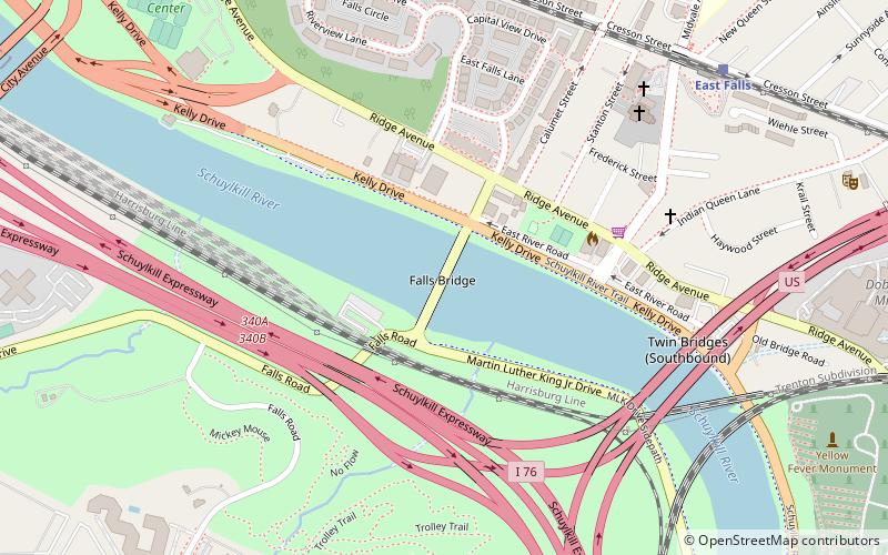
The Falls Bridge is a steel Pratt truss bridge that spans the Schuylkill River in Fairmount Park in Philadelphia, Pennsylvania. It connects Kelly Drive at Calumet Street with Martin Luther King, Jr. Drive at Neill Drive. It replaced a wooden covered bridge at the same site. ()
Opened: 1895 (131 years ago)Length: 556 ftWidth: 26 ftCoordinates: 40°0'30"N, 75°11'51"W
Address
Kelly DrWest Philadelphia (West Park)Philadelphia 19129
ContactAdd
Social media
Add
Day trips
Falls Bridge – popular in the area (distance from the attraction)
Nearby attractions include: Laurel Hill Cemetery, Mount Vernon Cemetery, Belmont Mansion, Philadelphia University.
Frequently Asked Questions (FAQ)
Which popular attractions are close to Falls Bridge?
Nearby attractions include Twin Bridges, Philadelphia (7 min walk), Philadelphia and Reading Railroad, Philadelphia (8 min walk), Chain Bridge at Falls of Schuylkill, Philadelphia (8 min walk), Chamounix, Philadelphia (10 min walk).
How to get to Falls Bridge by public transport?
The nearest stations to Falls Bridge:
Train
Bus
Train
- East Falls (10 min walk)
- Wissahickon (23 min walk)
Bus
- SEPTA 33rd & Dauphin Bus Terminal (33 min walk)

 SEPTA Regional Rail


