Wissahickon Trail, Philadelphia

Gallery (1)
Map
Map
Facts and practical information
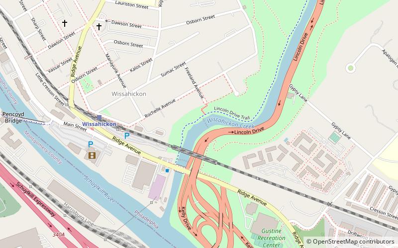
Wissahickon Creek is a tributary of the Schuylkill River in Montgomery and Philadelphia Counties, Pennsylvania in the United States. ()
Length: 20 miElevation: 56 ft a.s.l.Coordinates: 40°0'59"N, 75°12'21"W
Address
Upper Northwest (Wissahickon Park)Philadelphia
ContactAdd
Social media
Add
Getting there by public transportation
Public transportation stops near this location
- Train
 Train
Train
- Calculate routeWissahickon 6 min walk
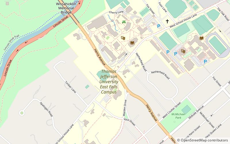
- Calculate routeEast Falls 21 min walk
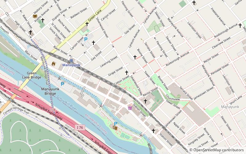
- Calculate routeManayunk 32 min walk
- Calculate routeBala 41 min walk
Maps SEPTA Regional Rail
SEPTA Regional RailDay trips


Frequently Asked Questions (FAQ)
Which popular attractions are close to Wissahickon Trail?
Nearby attractions include Ridge Avenue, Philadelphia (3 min walk), Falls Bridge, Philadelphia (19 min walk), City Avenue Bridges, Philadelphia (19 min walk), Wissahickon Memorial Bridge, Philadelphia (20 min walk).
How to get to Wissahickon Trail by public transport?
The nearest stations to Wissahickon Trail:
Train
Train
- Wissahickon (6 min walk)
- East Falls (21 min walk)