Rosedale Cemetery, West Orange
Map

Map

Facts and practical information
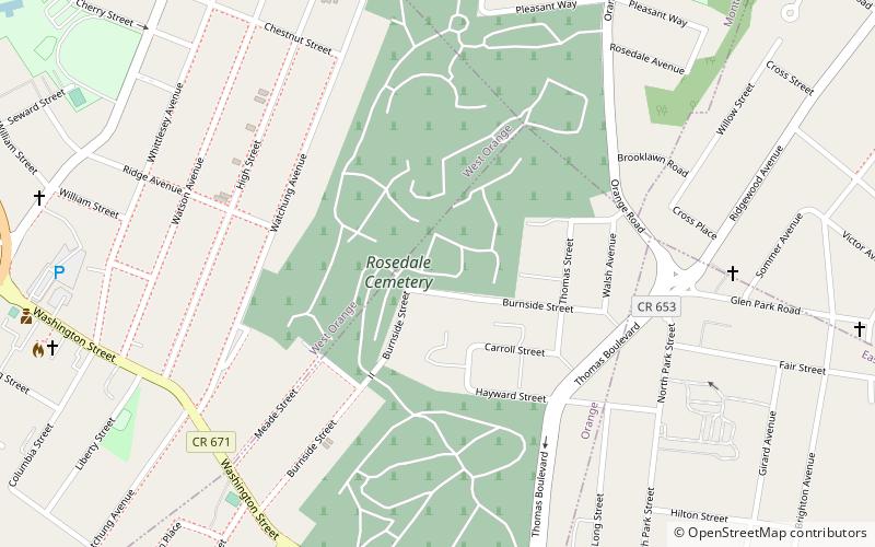
Rosedale Cemetery is a cemetery located at the tripoint of Orange, West Orange and Montclair in Essex County, New Jersey, United States. Cyrus Baldwin drew up the original plan for the cemetery in 1840. ()
Established: 1840 (186 years ago)Coordinates: 40°47'15"N, 74°13'21"W
Day trips
Rosedale Cemetery – popular in the area (distance from the attraction)
Nearby attractions include: Thomas Edison National Historical Park, St. Mark's Episcopal Church, Freeman Parkway Bridge, St. John's Church.
Frequently Asked Questions (FAQ)
Which popular attractions are close to Rosedale Cemetery?
Nearby attractions include St. Johns Catholic Cemetery, West Orange (21 min walk), Thomas Edison National Historical Park, West Orange (22 min walk), St. John's Church, West Orange (23 min walk), Columbus Hall, West Orange (24 min walk).
How to get to Rosedale Cemetery by public transport?
The nearest stations to Rosedale Cemetery:
Bus
Train
Bus
- NJ Transit Depot & Maintenance Yard (11 min walk)
- Prospect Street at Springdale Avenue • Lines: 94 (29 min walk)
Train
- Orange (32 min walk)
- Glen Ridge (33 min walk)


