Fort Pitt Boulevard, Pittsburgh
Map
Facts and practical information
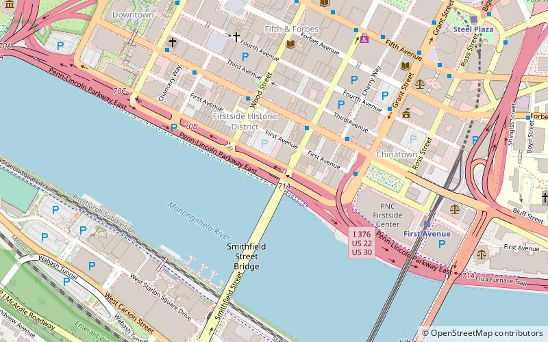
Fort Pitt Boulevard is a road in Pittsburgh on the southern area of Downtown, connecting Fort Pitt Bridge and Interstate 376. Fort Pitt poses a particular challenge to both mapmaker and navigator---along its entire half-mile length, up to six separate roadways making up the Boulevard, the Penn-Lincoln Parkway, and ramps between the latter and various Downtown streets are woven together in a space less than 300 feet wide. ()
Coordinates: 40°26'12"N, 80°0'5"W
Address
Fort Pitt Blvd, between Market and Wood streetsCentral Pittsburgh (Downtown Pittsburgh)Pittsburgh
ContactAdd
Social media
Add
Getting there by public transportation
Public transportation stops near this location
- Bus
- Light rail
- Train
 Bus
Bus
- Calculate routeBoulevard of the Allies at Wood St 4 min walk
- Calculate routeBlvd of the Allies at Cherry Way 4 min walk
- Calculate routeGrant St at 4th Ave 6 min walk
- Calculate routeFirst Avenue 7 min walk
- Calculate routeStation Square 10 min walk
- Calculate routeWood Street 10 min walk
- Calculate routeSteel Plaza 11 min walk
- Calculate routePittsburgh Union Station 20 min walk
Day trips


Frequently Asked Questions (FAQ)
Which popular attractions are close to Fort Pitt Boulevard?
Nearby attractions include Smithfield Street Bridge, Pittsburgh (4 min walk), Firstside Historic District, Pittsburgh (4 min walk), The Carlyle, Pittsburgh (5 min walk), Fourth Avenue, Pittsburgh (5 min walk).
How to get to Fort Pitt Boulevard by public transport?
The nearest stations to Fort Pitt Boulevard:
Bus
Light rail
Train
Bus
- Boulevard of the Allies at Wood St • Lines: Metro Commuter (4 min walk)
- Blvd of the Allies at Cherry Way • Lines: 3 (4 min walk)
Light rail
- First Avenue • Lines: Blue, Red, Silver (7 min walk)
- Station Square • Lines: Blue, Red, Silver (10 min walk)
Train
- Pittsburgh Union Station (20 min walk)