Mesa Arch, Canyonlands National Park

Gallery (1)
Map
Map
Facts and practical information
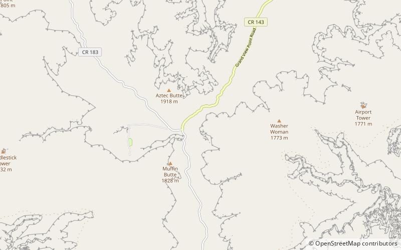
Mesa Arch is a pothole arch on the eastern edge of the Island in the Sky mesa in Canyonlands National Park in northern San Juan County, Utah, United States. Mesa Arch is a spectacular natural stone arch perched at the edge of a cliff with vast views of canyons, Monster Tower, Washer Woman Arch, Airport Tower, and the La Sal Mountains in the distance. Access is via a relatively easy hiking trail, just a half-mile long from the park road. ()
Address
Canyonlands National Park
ContactAdd
Social media
Add
Day trips
Mesa Arch – popular in the area (distance from the attraction)
Nearby attractions include: Murphy Trail and Bridge.
