Little Truckee Summit, Tahoe National Forest

Map
Facts and practical information
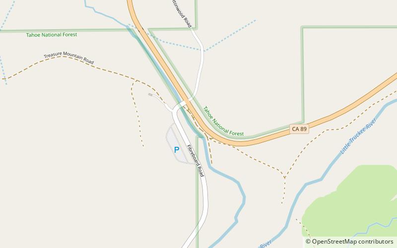
Little Truckee Summit, elevation 6,411 feet, is a mountain pass in Sierra County, California, on the Great Basin Divide between the Middle Fork Feather River to the west and the Little Truckee River to the east. The pass is traversed by State Route 89 northwest of Truckee and southeast of Sierraville. ()
Maximum elevation: 6411 ftCoordinates: 39°30'18"N, 120°16'55"W
Address
Tahoe National Forest
ContactAdd
Social media
Add
Day trips
Little Truckee Summit – popular in the area (distance from the attraction)
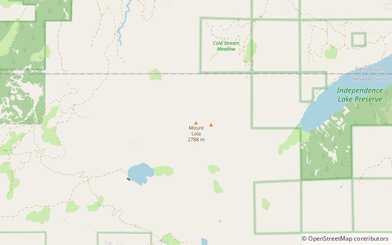
Nearby attractions include: Mount Lola.
