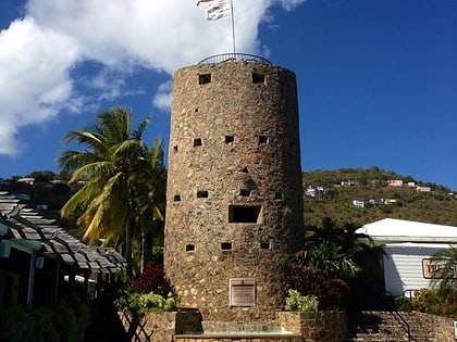
Tutu Plantation House, Saint Thomas
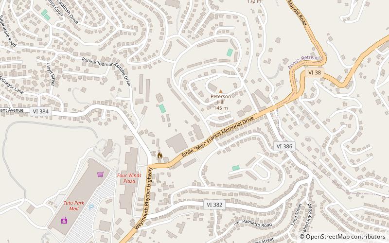
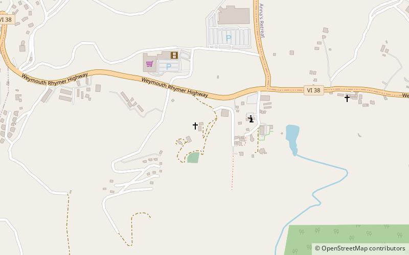
Map
Facts and practical information
Tutu Plantation House in the Tutu subdistrict of St. Thomas, U.S. Virgin Islands, was built in 1813. It was listed on the National Register of Historic Places in 1976. The listing included two contributing buildings. ()
Coordinates: 18°20'31"N, 64°53'8"W
Address
Saint Thomas
ContactAdd
Social media
Add
Day trips
Tutu Plantation House – popular in the area (distance from the attraction)
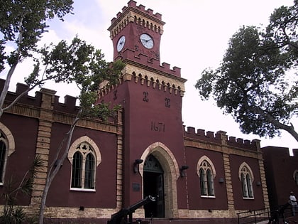
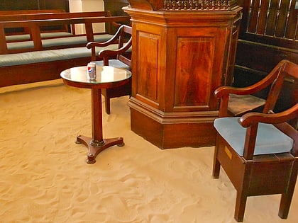
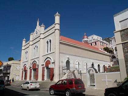
Nearby attractions include: Fort Christian, Magens Bay Beach, St. Thomas Synagogue, Saints Peter and Paul Cathedral.
