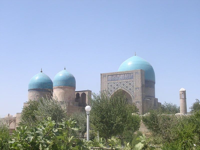
Mavzolej Samsad-Dina Kulala, Shakhrizabz
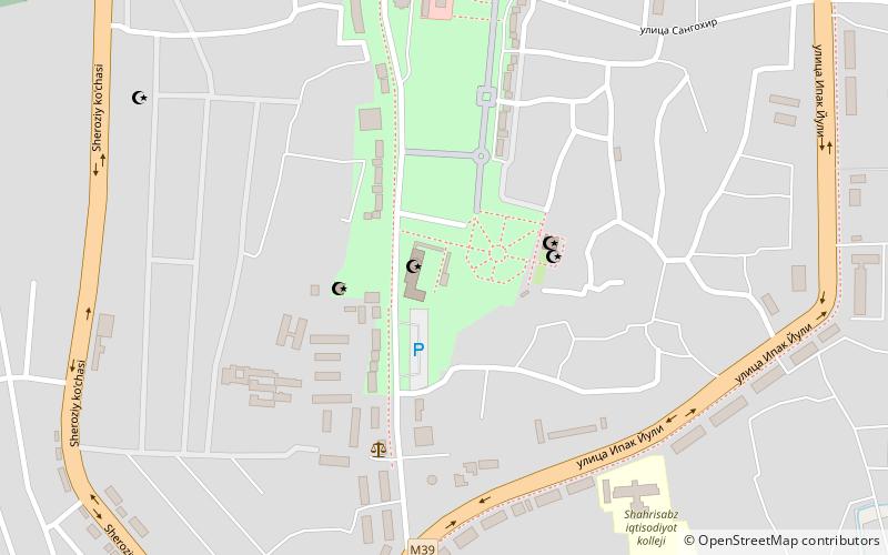
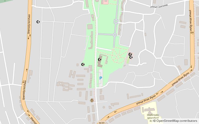
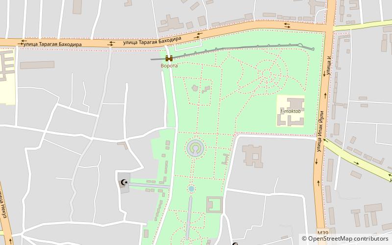
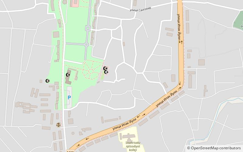
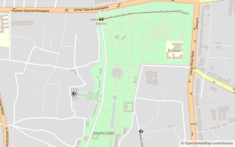
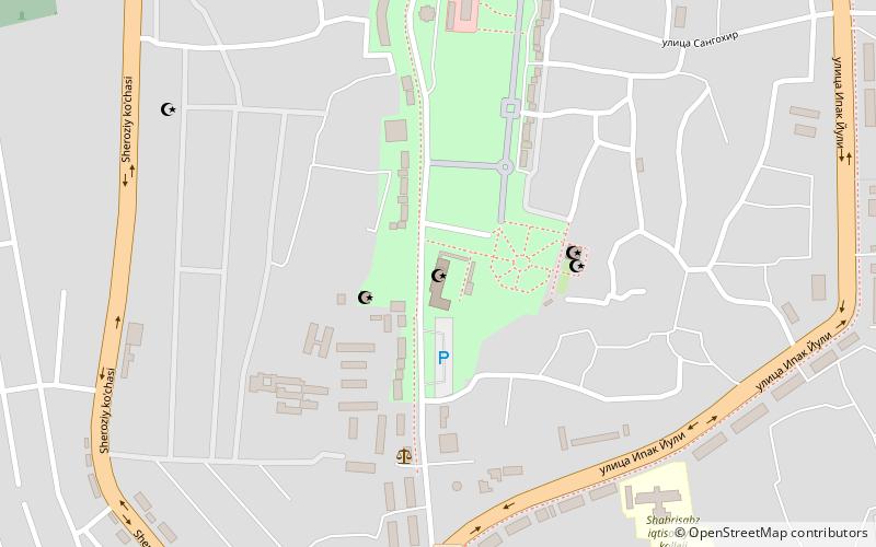
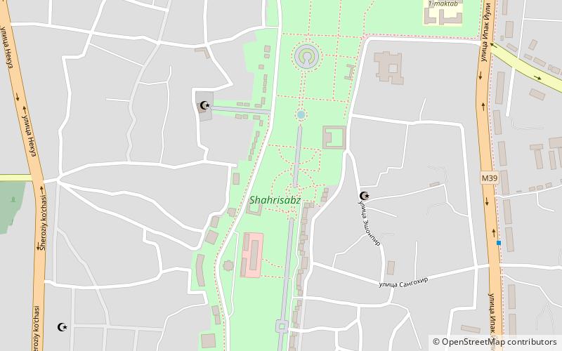
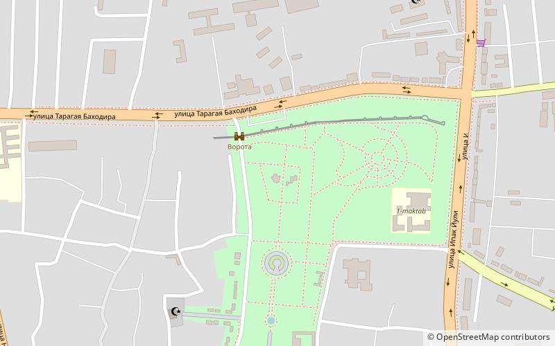
Map
Facts and practical information
Mavzolej Samsad-Dina Kulala is a place located in Shakhrizabz (Kashkadarya region) and belongs to the category of sightseeing.
It is situated at an altitude of 2057 feet, and its geographical coordinates are 39°2'59"N latitude and 66°49'40"E longitude.
Among other places and attractions worth visiting in the area are: Mecet Kuk-Gumbaz (mosque, 1 min walk), Dorus Saodat (unesco, 1 min walk), Kok Gumbaz Mosque (unesco, 3 min walk).
Coordinates: 39°2'59"N, 66°49'40"E
Address
Shakhrizabz
ContactAdd
Social media
Add
Day trips
Frequently Asked Questions (FAQ)
Which popular attractions are close to Mavzolej Samsad-Dina Kulala?
Nearby attractions include Mecet Kuk-Gumbaz, Shakhrizabz (1 min walk), Dorus Saodat, Shakhrizabz (1 min walk), Kok Gumbaz Mosque, Shakhrizabz (3 min walk), Crypt of Temur, Shakhrizabz (5 min walk).