Kukenán-tepui, Canaima National Park

Gallery (3)
Map
Map
Gallery
Facts and practical information
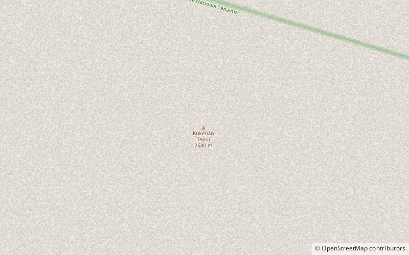
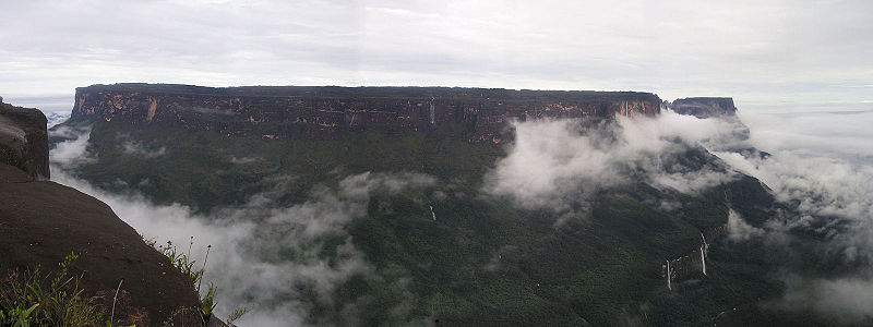
Kukenán, also known as Matawi or Cuquenán, is a tepui in Bolívar State, Guyana Region, Venezuela. It has an estimated surface area of 2185 hectares. It is 2,680 metres high and about 3 km long. Kukenan Falls, which is 674 m high, is located at the south end of the tepui. ()
Address
Canaima National Park
ContactAdd
Social media
Add
Day trips

