El Guache National Park
Map

Map

Facts and practical information
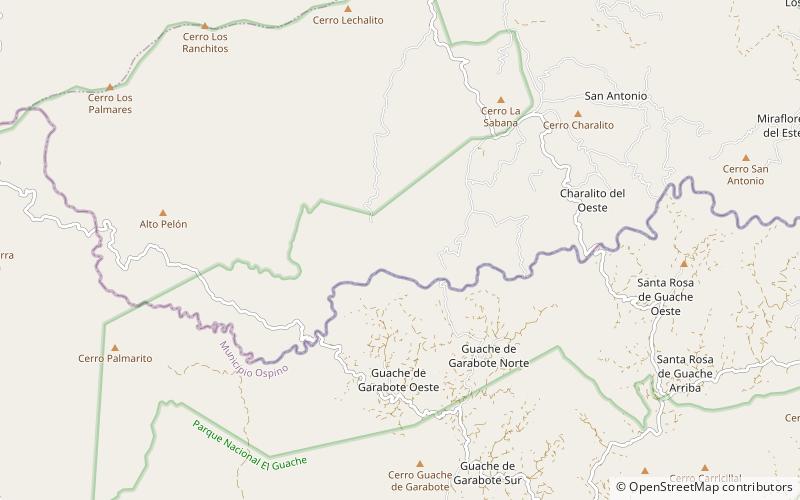
The El Guache National Park Is a protected area with the status of national park in Venezuela, located at the beginning of the Andes mountain range, comprising mountainous parts of the Lara and Portuguesa states, and the birth of the Guache, Ospino, Toco, Morador and Are rivers. 2 In its adjacencies is the mighty waterfall San Miguel. It has an area of 12,200 ha traditionally measured and 15,960 Ha. Its temperature is between 19 °C. and 26 °C. Precipitation varies between 1800 and 2000 mm annually. ()
Local name: Parque nacional El Guache Established: 5 June 1992 (33 years ago)Elevation: 3120 ft a.s.l.Coordinates: 9°32'26"N, 69°33'0"W
Location
Portuguesa
ContactAdd
Social media
Add
