El Surfista, Caracas
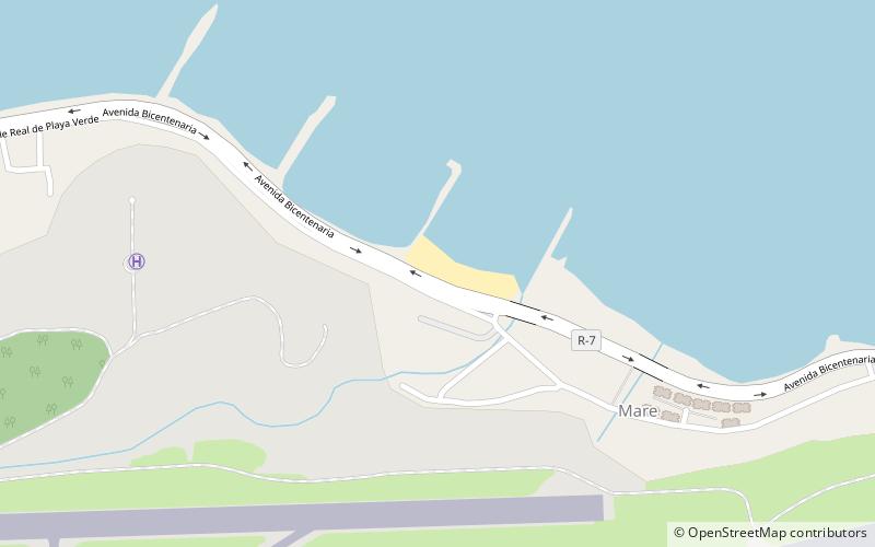
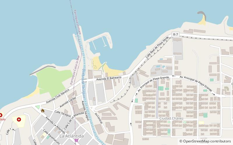
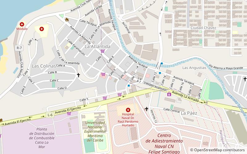
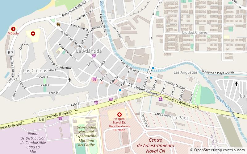
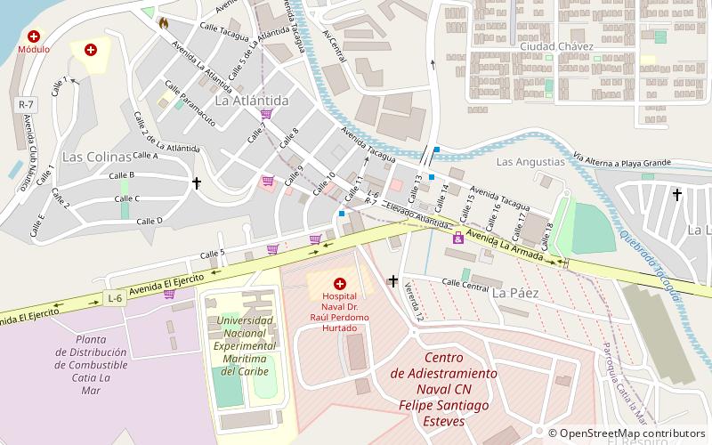
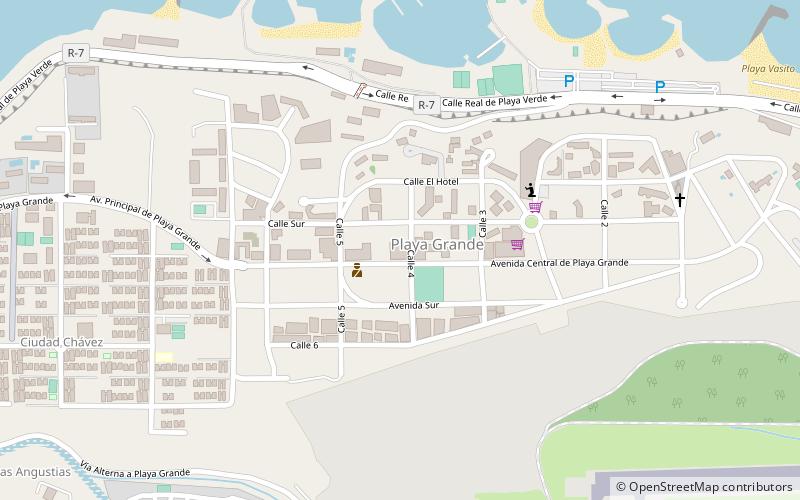
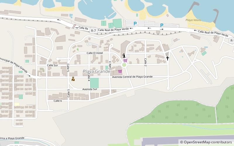
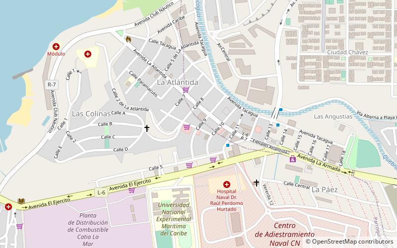
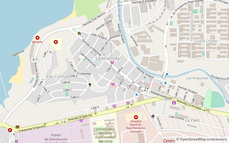
Map
Facts and practical information
El Surfista is a place located in Caracas (Vargas state) and belongs to the category of beach.
It is situated at an altitude of 7 feet, and its geographical coordinates are 10°36'33"N latitude and 66°59'1"W longitude.
Planning a visit to this place, one can easily and conveniently get there by public transportation. El Surfista is a short distance from the following public transport stations: Bloque 1 (bus, 26 min walk).
Among other places and attractions worth visiting in the area are: Playa Oasis (beach, 5 min walk), Candilejas (beach, 23 min walk), Maiquetía (city, 32 min walk).
Coordinates: 10°36'33"N, 66°59'1"W
Address
Caracas
ContactAdd
Social media
Add
Getting there by public transportation
Public transportation stops near this location
- Bus
 Bus
Bus
- Calculate routeBloque 1 26 min walk
- Calculate routeBloque 4 29 min walk
- Calculate routeJosé María Vargas 33 min walk
Day trips


Frequently Asked Questions (FAQ)
Which popular attractions are close to El Surfista?
Nearby attractions include Playa Oasis, Caracas (5 min walk), Candilejas, Caracas (23 min walk).
How to get to El Surfista by public transport?
The nearest stations to El Surfista:
Bus
Bus
- Bloque 1 • Lines: 603 (26 min walk)
- Bloque 4 • Lines: 603 (29 min walk)