Los Palos Grandes, Caracas
Map
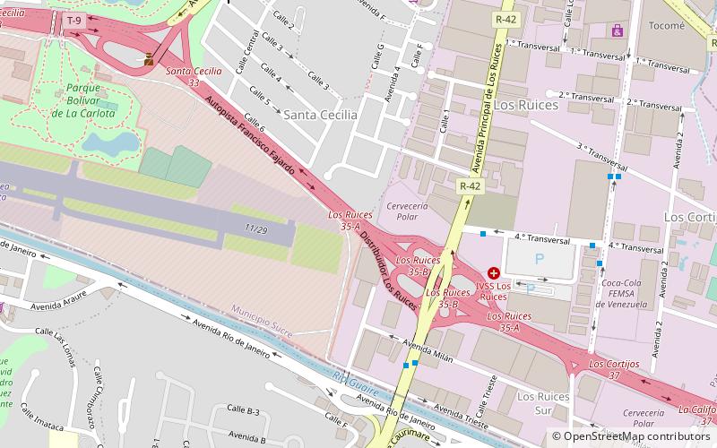
Map

Facts and practical information
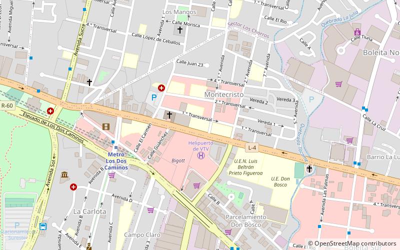
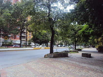
Los Palos Grandes is a residential, tourist and financial district located in the Chacao Municipality in east Caracas, served by the Caracas Metro through the Miranda station of line 1. It has an estimated area of 117 hectares. ()
Address
Caracas
ContactAdd
Social media
Add
Day trips
Los Palos Grandes – popular in the area (distance from the attraction)
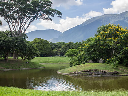
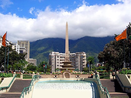
Nearby attractions include: Parque del Este, Plaza Francia, Petare, Centro de Arte La Estancia.
Frequently Asked Questions (FAQ)
Which popular attractions are close to Los Palos Grandes?
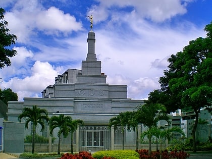
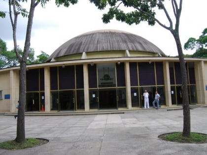
Nearby attractions include Planetario Humboldt, Caracas (18 min walk), Parque del Este, Caracas (20 min walk), Universidad Alejandro de Humboldt, Caracas (23 min walk), Caracas Venezuela Temple, Caracas (24 min walk).
How to get to Los Palos Grandes by public transport?
The nearest stations to Los Palos Grandes:
Bus
Metro
Bus
- Los Ruices • Lines: 121 (6 min walk)
- Zona Industrial I • Lines: 121 (11 min walk)
Metro
- Los Cortijos • Lines: L1 (16 min walk)
- Los Dos Caminos • Lines: L1 (20 min walk)

