Citadel of Saigon, Ho Chi Minh City
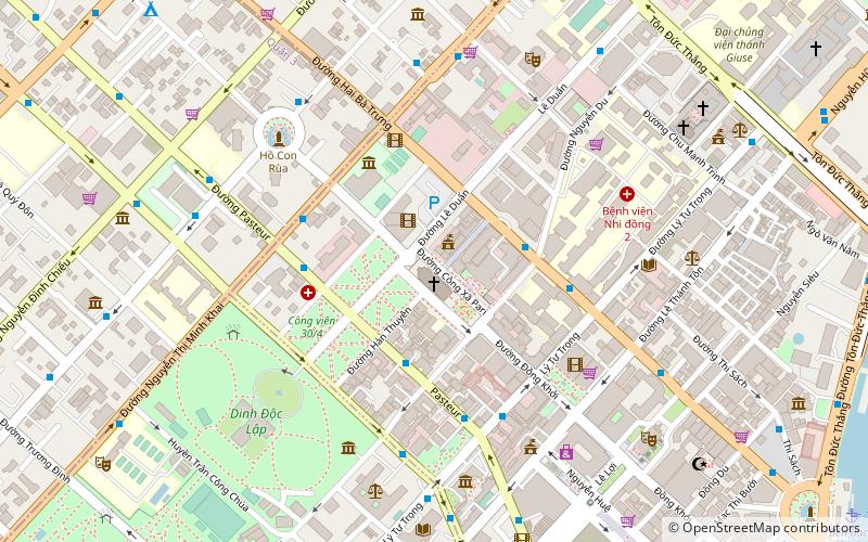
Map
Gallery
Facts and practical information
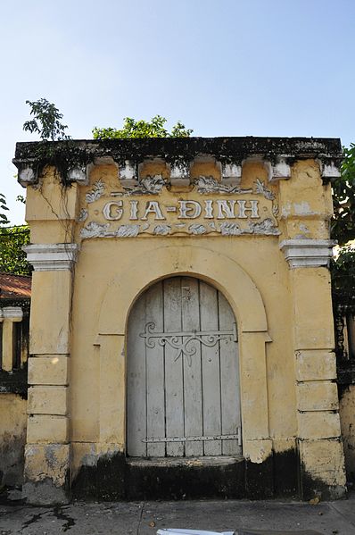
The Citadel of Saigon also known as the Citadel of Gia Định was a late 18th-century fortress that stood in Saigon, Vietnam from its construction in 1790 until its destruction in February 1859. The citadel was only used once prior to its destruction, when it was captured by Lê Văn Khôi in 1833 and used in a revolt against Emperor Minh Mạng. It was destroyed in a French naval bombardment as part of the colonization of southern Vietnam which became the French colony of Cochinchina. ()
Local name: Thành Gia Định Built: 1790 (236 years ago)Demolished: 1859Coordinates: 10°46'48"N, 106°41'56"E
Address
Quận 1 (Bến Nghé)Ho Chi Minh City
ContactAdd
Social media
Add
Day trips
Citadel of Saigon – popular in the area (distance from the attraction)
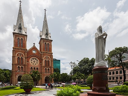
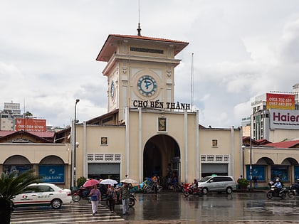
Nearby attractions include: Independence Palace, War Remnants Museum, Notre-Dame Cathedral Basilica of Saigon, Ben Thanh Market.
Frequently Asked Questions (FAQ)
Which popular attractions are close to Citadel of Saigon?
Nearby attractions include Công xã Paris Square, Ho Chi Minh City (1 min walk), Saigon Central Post Office, Ho Chi Minh City (2 min walk), Cong Vien Van Hoa Park, Ho Chi Minh City (2 min walk), Notre-Dame Cathedral Basilica of Saigon, Ho Chi Minh City (3 min walk).
How to get to Citadel of Saigon by public transport?
The nearest stations to Citadel of Saigon:
Bus
Ferry
Train
Bus
- Chiyoda Sushi • Lines: 109 (4 min walk)
- Sở Ngoại vụ Thành phố Hồ Chí Minh • Lines: 109 (5 min walk)
Ferry
- Bến Bạch Đằng • Lines: 1 (17 min walk)
- Sai Gon Hydrofoil Terminal (19 min walk)
Train
- Ba Son (25 min walk)
- Van Thanh Park (40 min walk)


