Công viên Nước Hồ Tây, Hanoi

Facts and practical information
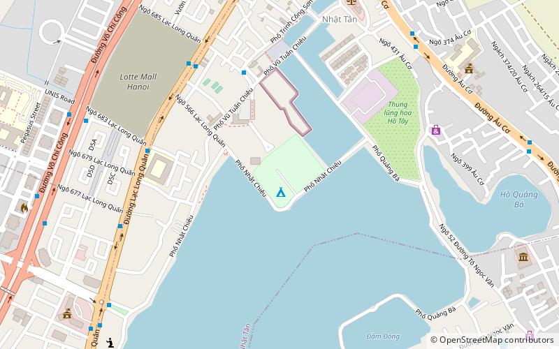
Công viên Nước Hồ Tây is a place located in Hanoi (Hà Nội city) and belongs to the category of water park, amusement, swimming.
It is situated at an altitude of 26 feet, and its geographical coordinates are 21°4'23"N latitude and 105°49'1"E longitude.
Planning a visit to this place, one can easily and conveniently get there by public transportation. Công viên Nước Hồ Tây is a short distance from the following public transport stations: CV Nước Hồ Tây (bus, 6 min walk).
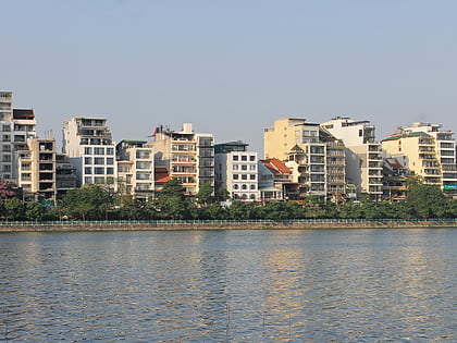
Among other places and attractions worth visiting in the area are: Tây Hồ District (neighbourhood, 10 min walk), Chua Pho Linh (temple, 25 min walk), Xuân La (archaeological site, 27 min walk).
Hanoi
Công viên Nước Hồ Tây – popular in the area (distance from the attraction)
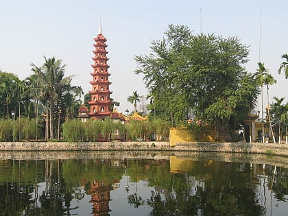
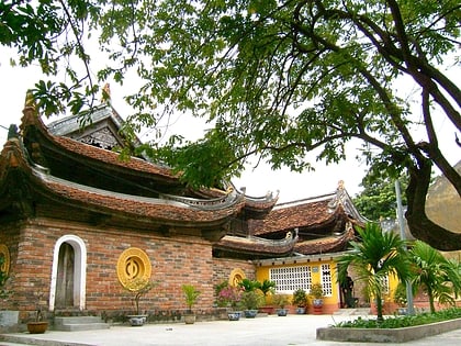
Nearby attractions include: West Lake, Tây Hồ District, Kim Liên Pagoda, Xuân La.
Frequently Asked Questions (FAQ)
How to get to Công viên Nước Hồ Tây by public transport?
Bus
- CV Nước Hồ Tây • Lines: 13, 60A (6 min walk)
- Số 442-444 Lạc Long Quân • Lines: 60A (7 min walk)

