Tây Hồ District, Hanoi
Map

Map

Facts and practical information
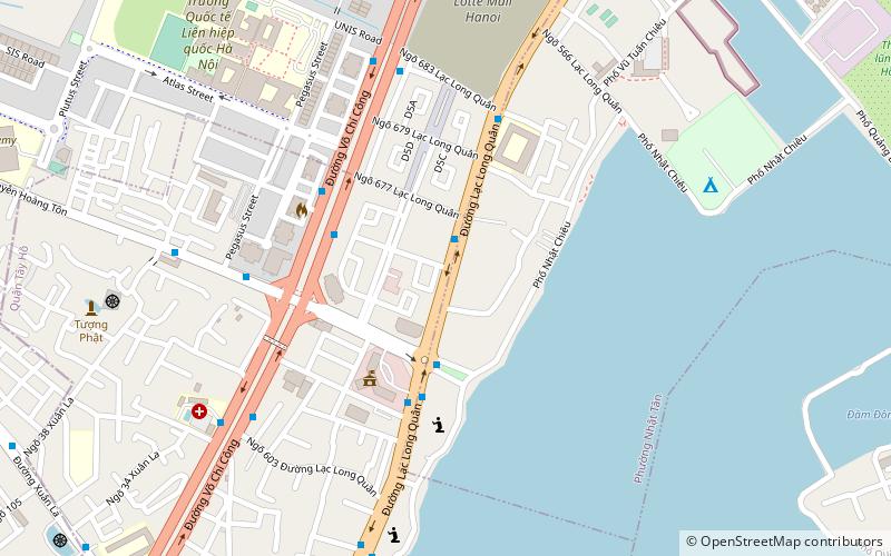
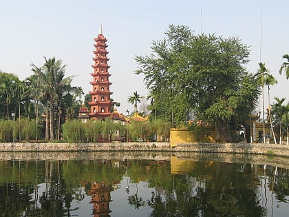
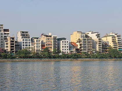
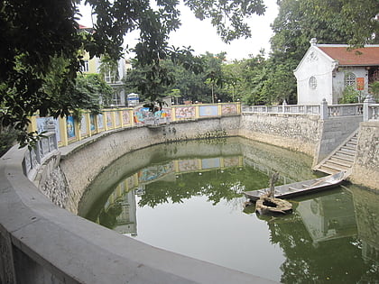
Tây Hồ is an urban district located on the north side of central Hanoi, the capital city of Vietnam. The district wraps around the West Lake, one of the largest natural lakes of Vietnam. The district currently has 8 wards, covering a total area of 24.39 square kilometers. As of 2019, there were 160,495 people residing in the district, the population density is 6,600 inhabitants per square kilometer. ()
Address
Hanoi
ContactAdd
Social media
Add
Day trips
Tây Hồ District – popular in the area (distance from the attraction)
Nearby attractions include: West Lake, Công viên Nước Hồ Tây, Xuân La, Chua Pho Linh.
Frequently Asked Questions (FAQ)
How to get to Tây Hồ District by public transport?
The nearest stations to Tây Hồ District:
Bus
Bus
- Qua 50m ngõ 677 Lạc Long Quân • Lines: 13, 60A (2 min walk)
- Khu liên cơ quan Sở ngành Hà Nội • Lines: 09A (3 min walk)


