Ward 1, Vung Tau
Facts and practical information
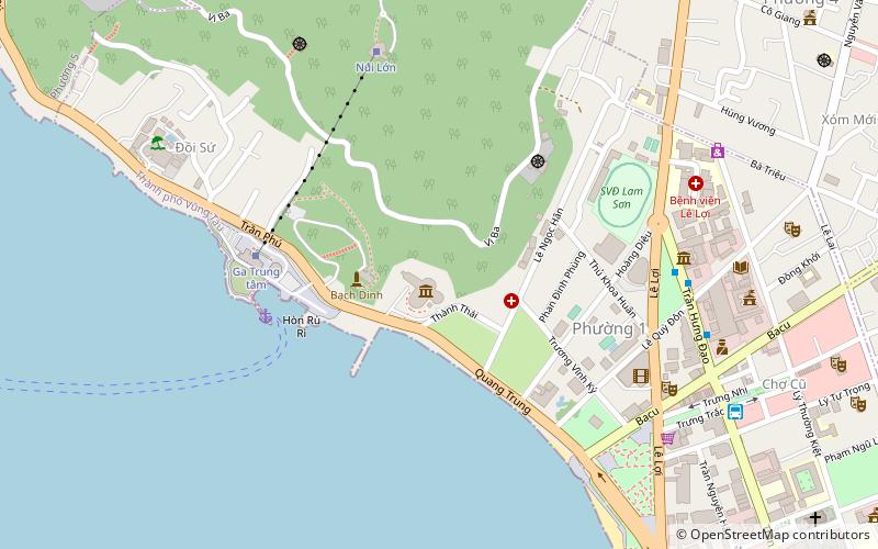
Ward 1, located in the coastal city of Vung Tau in Vietnam, is a vibrant and bustling area known for its rich history and scenic beauty. This urban ward is one of the key administrative divisions of Vung Tau, a city famed for its beaches and as a weekend retreat for residents of Ho Chi Minh City.
Nestled along the shores of the South China Sea, Ward 1 is characterized by its picturesque coastal line and the iconic Vung Tau Lighthouse, which offers panoramic views of the city and the sea. The ward's geography includes both flat terrain and hills, with the latter providing a natural vantage point for both locals and tourists to enjoy stunning sunsets and sunrises.
The area is steeped in history, with remnants of the past evident in its architecture and cultural landmarks. Ward 1 is a melting pot of local culture, where traditional Vietnamese way of life blends with influences from the French colonial period. Visitors can explore historic buildings, local markets, and street food vendors offering a taste of the region's culinary delights.
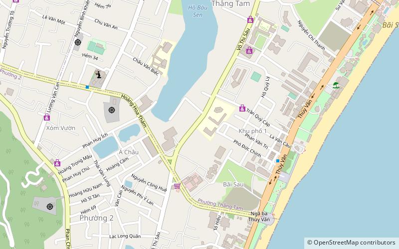
As a popular destination for beachgoers, Ward 1 boasts several renowned beaches such as Front Beach (Bãi Trước) and Pineapple Beach (Bãi Dứa), which are known for their calm waters and soft, golden sands. These beaches are hubs of activity, where one can indulge in water sports, enjoy fresh seafood, or simply relax by the sea.
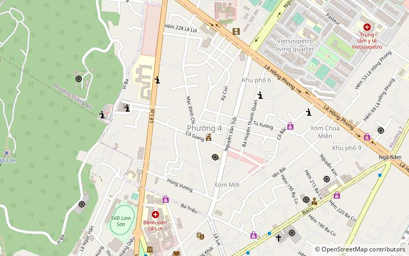
Ward 1 is also an important commercial center in Vung Tau, with a bustling economy driven by tourism, fishing, and maritime industries. The ward's infrastructure is well-developed, catering to both residents and the influx of tourists year-round. Accommodations range from luxury resorts to budget-friendly guesthouses, ensuring that all visitors can find a place to stay.
For those interested in religious and cultural sites, Ward 1 does not disappoint. The area is home to the Vung Tau Cathedral, which stands as a testament to the city's Catholic heritage. Additionally, the ward hosts various festivals and events throughout the year, celebrating the unique traditions and community spirit of Vung Tau.
Vung Tau
- Bus
- Ferry
 Bus
Bus
- Calculate routeVũng Tàu - Bến Hồ Mây 7 min walk
- Calculate routeToàn Thắng 12 min walk
- Calculate routeThien Phu bus station 23 min walk
- Calculate routeBến xe Vũng Tàu 30 min walk


Frequently Asked Questions (FAQ)
Which popular attractions are close to Ward 1?
How to get to Ward 1 by public transport?
Ferry
- Vũng Tàu - Bến Hồ Mây (7 min walk)
Bus
- Toàn Thắng (12 min walk)
- Thien Phu bus station (23 min walk)