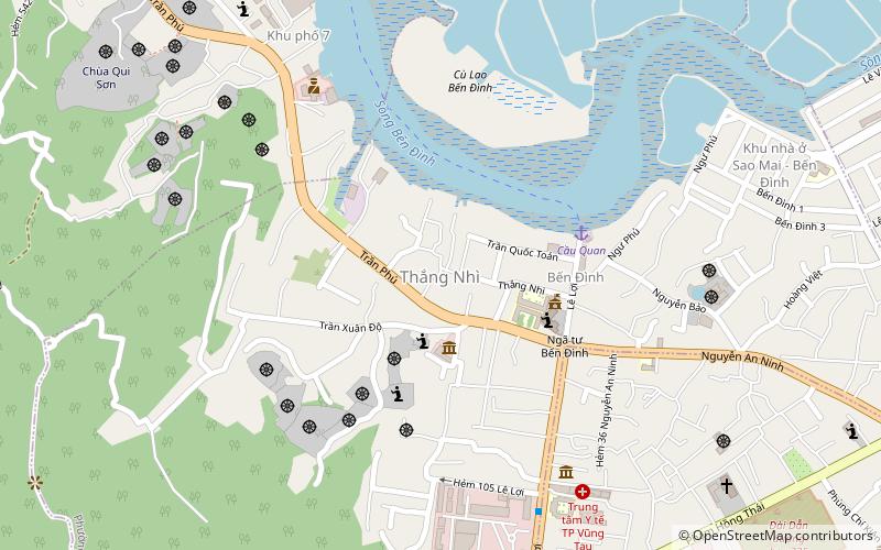
Ward 4, Vung Tau
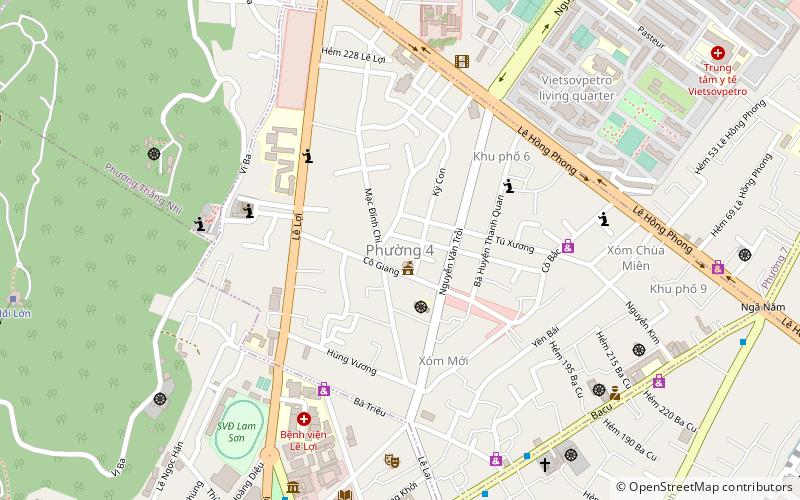
Map
Facts and practical information
Ward 4 is a ward of Vũng Tàu in Bà Rịa–Vũng Tàu province, Vietnam. ()
Address
Vung Tau
ContactAdd
Social media
Add
Getting there by public transportation
Public transportation stops near this location
- Bus
- Ferry
 Bus
Bus
- Calculate routeToàn Thắng 15 min walk
- Calculate routeBến xe Vũng Tàu 20 min walk
- Calculate routeThien Phu bus station 28 min walk
- Calculate routeVũng Tàu - Bến Hồ Mây 22 min walk
Day trips


Frequently Asked Questions (FAQ)
Which popular attractions are close to Ward 4?
Nearby attractions include Ward 1, Vung Tau (16 min walk), Ward 7, Vung Tau (16 min walk), Ward 3, Vung Tau (18 min walk), Bãi Trước, Vung Tau (23 min walk).
How to get to Ward 4 by public transport?
The nearest stations to Ward 4:
Bus
Ferry
Bus
- Toàn Thắng (15 min walk)
- Bến xe Vũng Tàu (20 min walk)
Ferry
- Vũng Tàu - Bến Hồ Mây (22 min walk)