Tân Phú District, Ho Chi Minh City

Map
Facts and practical information
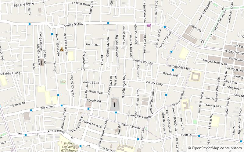
Tân Phú is an urban district of Hồ Chí Minh City, Vietnam. As of 2010, the district has a population of 407,924 and covers an area of 16 km². The district is divided into 11 small subsets which are called wards. It borders District 12 to the north, Tân Bình district to the east, Bình Tân district to the west, and District 6 and District 11 to the south. ()
Address
Quận Tân Phú (Phường 16)Ho Chi Minh City
ContactAdd
Social media
Add
Day trips
Tân Phú District – popular in the area (distance from the attraction)
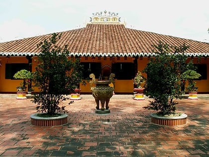
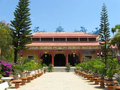
Nearby attractions include: Đầm Sen Park, Giác Lâm Pagoda, Vạn Hạnh Zen Temple, Aeon Mall Tân Phú.
Frequently Asked Questions (FAQ)
How to get to Tân Phú District by public transport?
The nearest stations to Tân Phú District:
Train
Bus
Train
- Bà Quẹo (30 min walk)
Bus
- Bến xe Tân Phú (34 min walk)


