Al Tawheed Mosque, Sanaa
Map
Facts and practical information
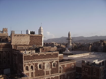
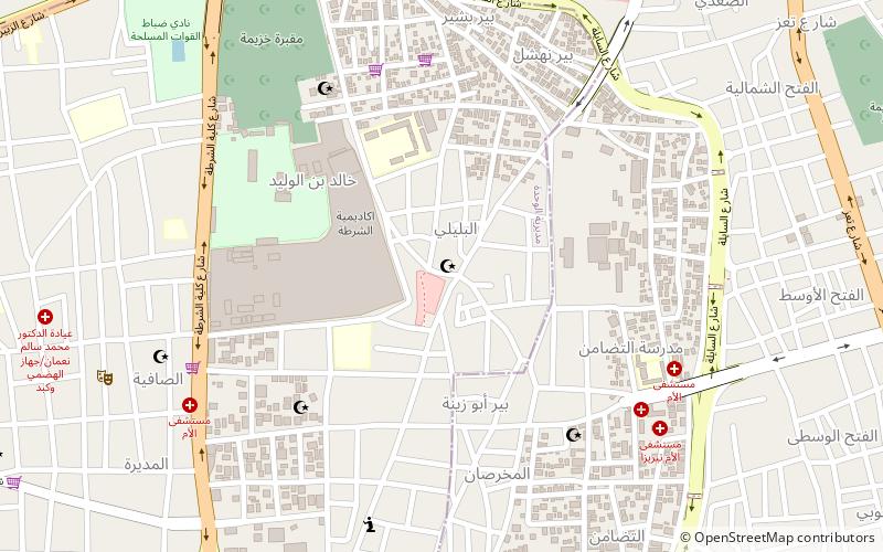
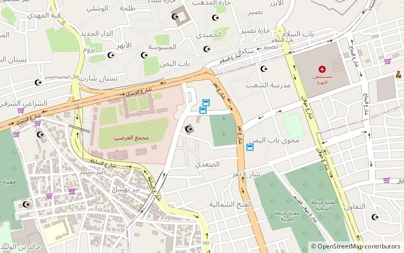
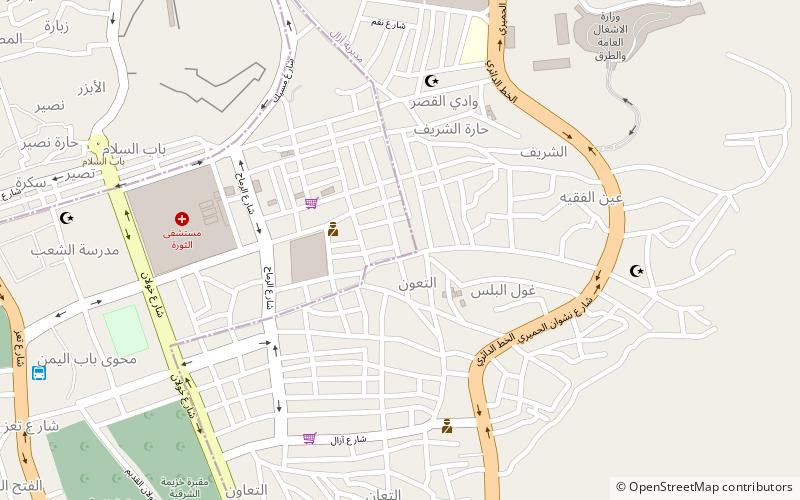
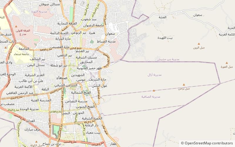
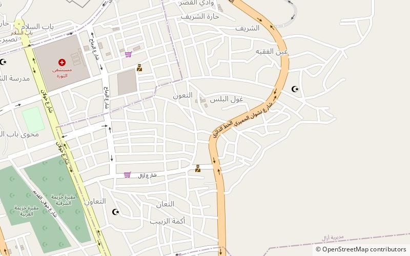
The Al Tawheed Mosque is a mosque in Sana'a, Yemen. It lies in the eastern part of the city, southeast of Revolution Hospital and Alemaan Mosque, along the E Ring Road. ()
Local name: مسجد التوحيدCoordinates: 15°20'54"N, 44°13'37"E
Address
Sanaa
ContactAdd
Social media
Add
Day trips
Al Tawheed Mosque – popular in the area (distance from the attraction)
Nearby attractions include: Great Mosque of Sanaa, Ghumdan Palace, Al-Bakiriyya Mosque, Al-Mahdi Mosque.
Frequently Asked Questions (FAQ)
Which popular attractions are close to Al Tawheed Mosque?
Nearby attractions include Alemaan Mosque, Sanaa (5 min walk), Assafi'yah District, Sanaa (17 min walk), Al Shohada Mosque, Sanaa (19 min walk), Yemen Gate, Sanaa (20 min walk).
How to get to Al Tawheed Mosque by public transport?
The nearest stations to Al Tawheed Mosque:
Bus
Bus
- Al-Tahreer Bus Station (19 min walk)
- Bab Alyemen Bus Station (19 min walk)
