North Luangwa National Park
Map
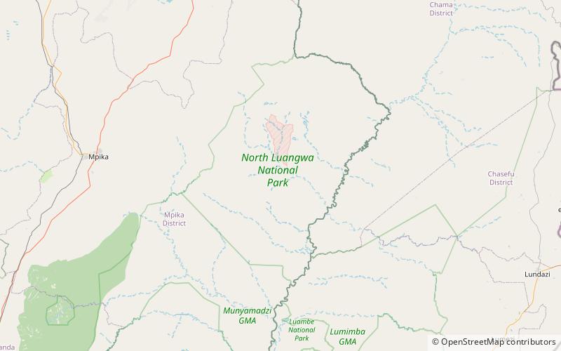
Map

Facts and practical information
North Luangwa National Park is a national park in Zambia, the northernmost of the three in the valley of the Luangwa River. Founded as a game reserve in 1938, it became a national park in 1972 and now covers 4,636 km². ()
Alternative names: Established: 1972 (54 years ago)Elevation: 2139 ft a.s.l.Coordinates: 11°55'0"S, 32°10'0"E
Location
Muchinga
ContactAdd
Social media
Add
Best Ways to Experience the Park
Wildlife
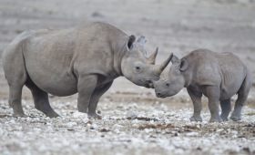
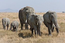
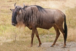
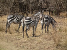
AnimalsSee what popular animal species you can meet in this location.
More

