Honde Valley
Map

Map

Facts and practical information
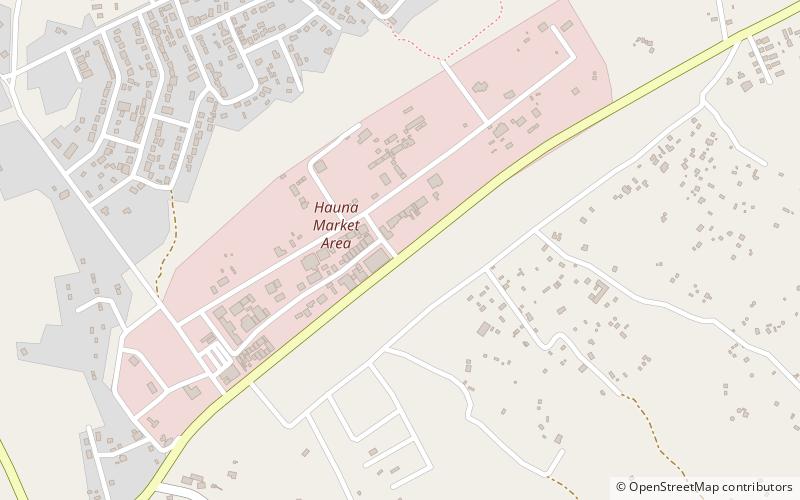
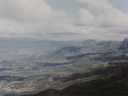
The Honde Valley extends from the eastern border of Zimbabwe into Mozambique. The valley is part of the Eastern Highlands. The valley is about 130 kilometres from Mutare, or 110 kilometres from Nyanga. The Nyanga Mountains and the Nyanga National Park forms the western boundary of the valley. ()
Elevation: 2559 ftCoordinates: 18°29'48"S, 32°51'12"E
Location
Manicaland
ContactAdd
Social media
Add
Day trips
Honde Valley – popular in the area (distance from the attraction)
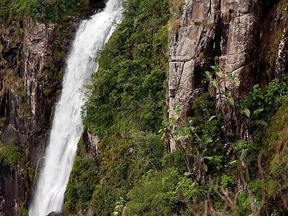
Nearby attractions include: Mutarazi Falls.

