Kratul
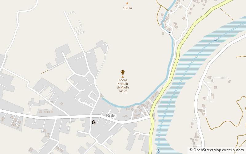
Map
Facts and practical information
Kratul was an Illyrian settlement and fortification located in the territories of the Illyrian tribe of Labeates. The archaeological material indicates that life at the settlement was active from the early Iron Age until the 1st century AD. In the modern era it is the name of a city situated in Albania, north of Boks. ()
Local name: Fortifikimi i KratulitCoordinates: 42°7'20"N, 19°34'27"E
Location
Shkodër
ContactAdd
Social media
Add
Day trips
Kratul – popular in the area (distance from the attraction)
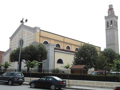
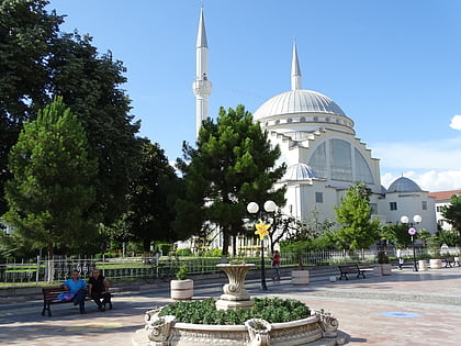
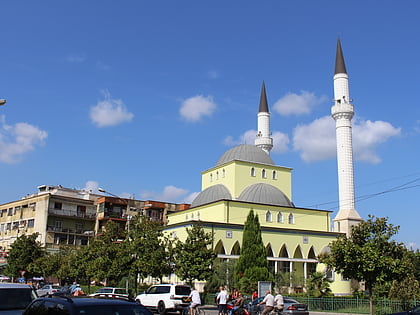
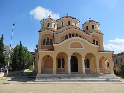
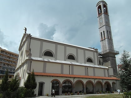
Nearby attractions include: Mes Bridge, St. Stephen's Cathedral, Ebu Beker Mosque, Parrucë Mosque.

