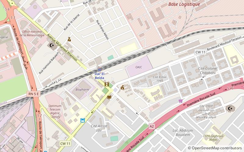
Dar El Beïda District, Algiers
Map
Facts and practical information
Dar El Beïda is a district in Algiers Province, Algeria. It was named after its capital, Dar El Beïda. ()
Address
الدار البيضاء دائرة (الدار البيضاء)Algiers
ContactAdd
Social media
Add
Getting there by public transportation
Public transportation stops near this location
- Bus
- Train
 Bus
Bus
- Calculate routeDar El Beida 3 min walk
- Calculate routeمحطة المطار هواري بومدين 25 min walk
- Calculate routeDar el beida => Boumaati 6 min walk
- Calculate routeCité 5 Juillet 19 min walk
- Calculate route05 juillet 19 min walk
- Calculate routeCite Conor - Dar El Beida 19 min walk
Day trips


Frequently Asked Questions (FAQ)
How to get to Dar El Beïda District by public transport?
The nearest stations to Dar El Beïda District:
Train
Bus
Train
- Dar El Beida (3 min walk)
- محطة المطار هواري بومدين (25 min walk)
Bus
- Dar el beida => Boumaati • Lines: 3151 (6 min walk)
- Cité 5 Juillet • Lines: 19, 3151, 630, 98 (19 min walk)