António Agostinho Neto, Luanda
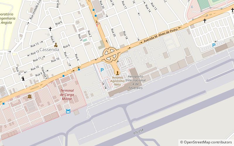
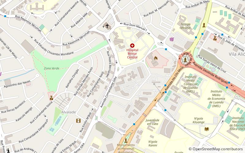
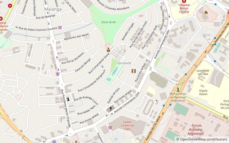
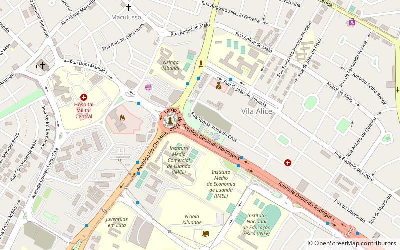
Map
Facts and practical information
António Agostinho Neto is a place located in Luanda (Luanda province) and belongs to the category of memorial.
It is situated at an altitude of 240 feet, and its geographical coordinates are 8°50'49"S latitude and 13°14'4"E longitude.
Among other places and attractions worth visiting in the area are: Estádio França Ndalu (sport, 17 min walk), Piscina Alvalade (watersports, 28 min walk), National Library of Angola (library, 35 min walk).
Coordinates: 8°50'49"S, 13°14'4"E
Address
Luanda
ContactAdd
Social media
Add
Day trips